What is recorded here
Fairy fort / earthen ringfort in Coolkill West (monaghan By) stands on a drumlin crest above the River Blackwater, its forty-three-metre grass circle marked by a thin earthen bank and shallow old quarries. The site has watched the water for centuries, perhaps holding people, perhaps waiting for them, while a farm road and lime-kiln have crowded beside it. Its name invites wonder rather than proof, yet the bank, entrance and scarped edge remain clear enough to walk around and imagine.
Located at the crest of the S-facing slope of a NE-SW drumlin ridge overlooking a W-E section of the River Blackwater, which is c. 100m to the S. This is a circular grass-covered area (int. diam. 43m E-W; 42.6m N-S) defined by an earthen bank (Wth c. 3m; int. H c. 0.5m) with some bushes N-E that is reduced to a scarp (at NE: H c. 1.5m) elsewhere. There is no visible fosse although there are shallow old quarries outside the perimeter at SE and the bank is circumscribed by a farm road W-N. There is a lime-kiln outside the bank at SW and the present entrance (Wth of top 2.5m) is at NE.
The above description is derived from the published 'Archaeological Inventory of County Monaghan' (Dublin: Stationery Office, 1986). In certain instances the entries have been revised and updated in the light of recent research.
Date of revision: 30 August 2017
The monument record does not grant public access. Check the route and ask the landowner before entering private land.
- What survives
- Recorded monument
Places near here
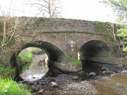 bridgebridge · 224 yd
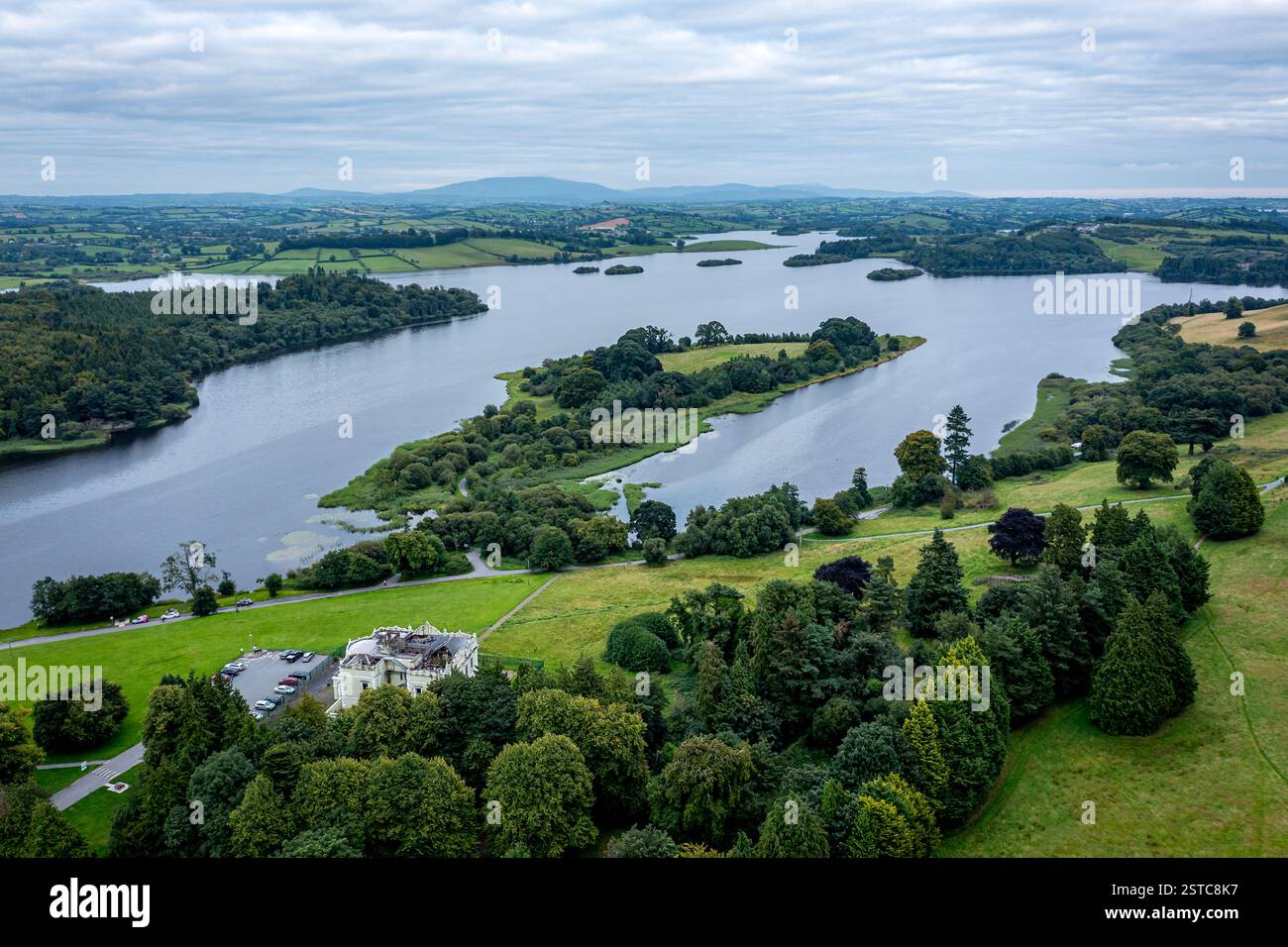 LisboughArchaeological place · 377 yd
 Lisbough (Site of)Fairy fort / earthen ringfort · 386 yd
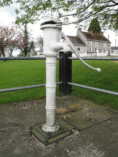 water pumpwater pump · 543 yd
 Western RedcedarWestern Redcedar · 1.3 mi
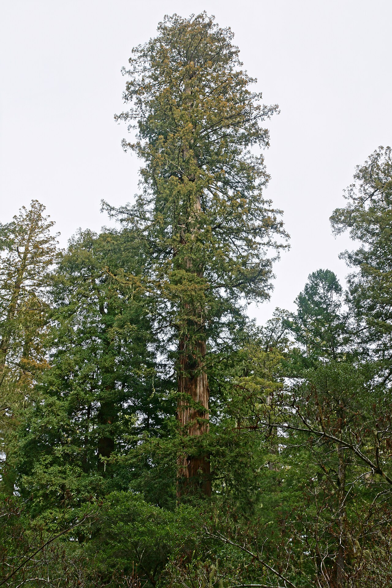 Coast RedwoodCoast Redwood · 1.3 mi
 Rough HillMountain / peak · 2.6 mi
 Sliabh Beagh Hotel and Tourism CentreVisitor information · 2.9 mi
 EshmoreMountain / peak · 4.3 mi
 Banba GiantHeritage attraction · 4.4 mi
 Roddy-Den-Drum GiantHeritage attraction · 4.6 mi
 Rossmore MonumentMemorial · 4.8 mi