What is recorded here
Coolasmuttane holds a thirty-six metre earthen ring where a roadway cut through the eastern bank and bushes now strangle the southern ditch. The fort disappeared from later maps despite surviving in pasture, suggesting human memory valued straight roads more than circular boundaries. Fairy fort is a mislabel for an ordinary ringfort, yet the name admits that people once saw the landscape as alive before surveying it into dead lines.
In level pasture. Depicted as hachured roughly circular enclosure on 1842 OS 6-inch map, with bank truncated by roadway on NE side; only W half of enclosure depicted on 1905 and 1936 OS 6-inch maps. Circular area (36.6m N-S) enclosed by faint trace of fosse E->S; earthen bank (H 0.4m) S->WSW with external fosse (D 0.9m); scarp WSW->N with external fosse. Interior grass covered; bank, scarp and fosse S->N partially overgrown with bushes.
The above description is derived from the published 'Archaeological Inventory of County Cork. Volume 4: North Cork' (Dublin: Stationery Office, 2000). In certain instances the entries have been revised and updated in the light of recent research.
Date of upload/revision: 14 January 2009
The monument record does not grant public access. Check the route and ask the landowner before entering private land.
- What survives
- Recorded monument
Places near here
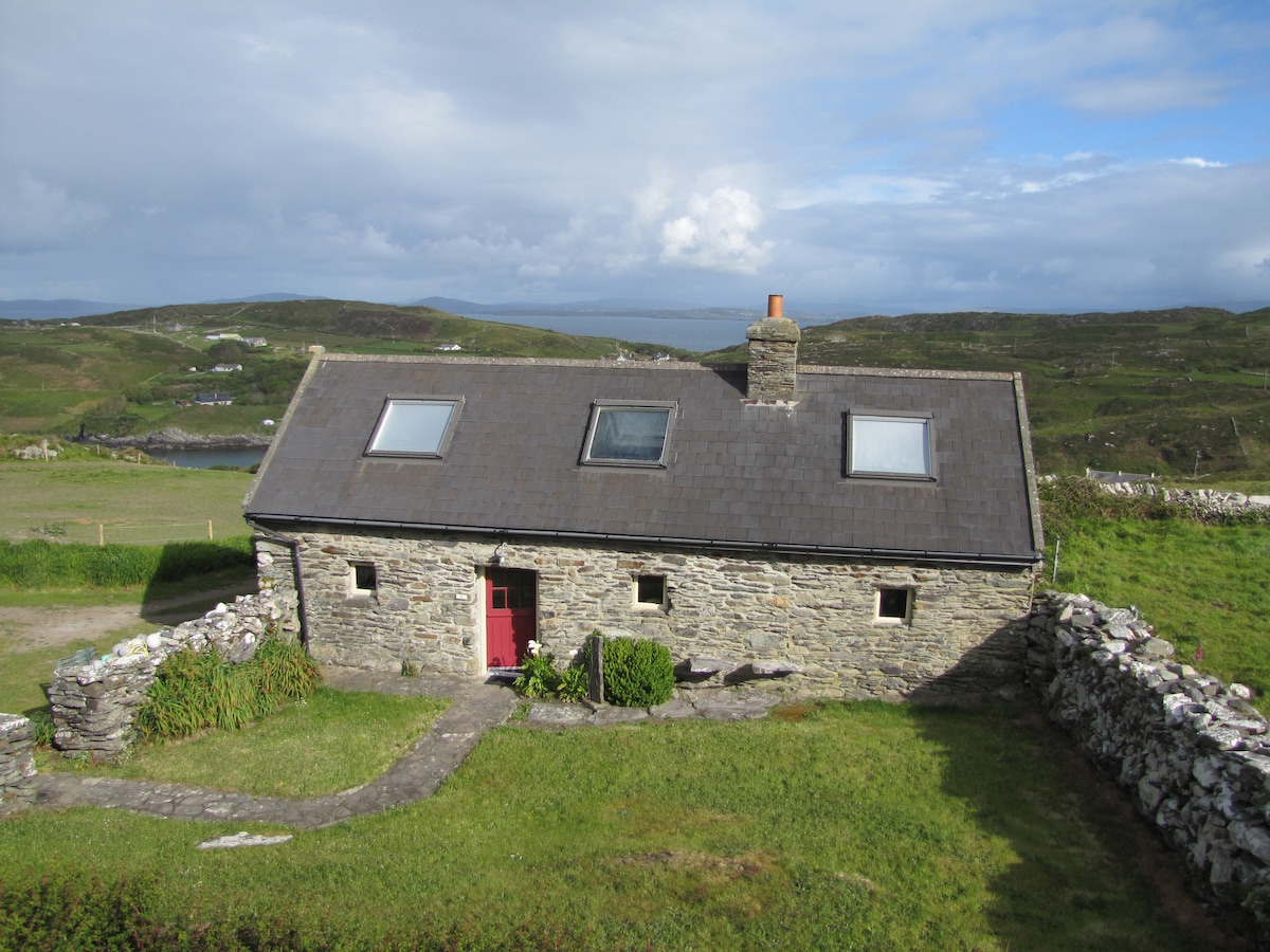 Enclosure in CoolasmuttaneEnclosure · 474 yd
 IndicatedMoated site · 1345 yd
 Ross Corn MillMill, corn · 1.1 mi
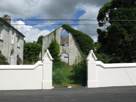 Colmanswell Catholic Churchchurch/chapel · 1.2 mi
 TumulusCastle, motte · 1.2 mi
 Bawn in CregganeBawn · 2.7 mi
 Holy Cross CemeteryGraveyard · 3.1 mi
 Saint Derivla's WellSpring · 3.4 mi
 Our Lady's WellSpring · 4.6 mi
 CarrigeenMountain / peak · 6.9 mi
 National Co-op MuseumMuseum · 7.1 mi
 Battle of LiscarrollMajor battlefield · 7.8 mi