What is recorded here
Fairy fort in Coolalta stands fifty-eight metres across, its earthen bank two metres high on a south-facing slope above the River Lee. Inside the main rampart, a second scarp curves from southeast to southwest where the ground rises to balance the hillslope. The outer bank Hartnett measured at the northeast has vanished, leaving the inner ring to mark the shape of a place people may have defended, lived in, or simply refused to forget.
In pasture, on S-facing slope overlooking River Lee to S. Circular area (diam. 58.5m) defined by earthen bank (H 2m), with external fosse on N side. Scarp forms arc (SE->SW) c. 15m inside S bank where interior raised to compensate for hillslope. 'Outer bank three to four feet high', recordedby Hartnett (1939, 96) at NE quadrant, no longer survives.
The above description is derived from the published 'Archaeological Inventory of County Cork. Volume 3: Mid Cork' (Dublin: Stationery Office, 1997). In certain instances the entries have been revised and updated in the light of recent research.
Date of upload/revision: 14 January 2009
The monument record does not grant public access. Check the route and ask the landowner before entering private land.
- What survives
- Recorded monument
Places near here
 Burnt spread in CoolaltaBurnt spread · 777 yd
 Fulacht fia in CoolaltaFulacht fia · 813 yd
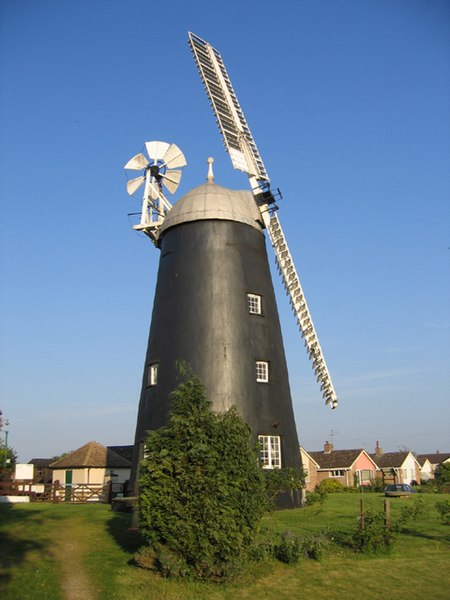 Steven's WoodWood · 909 yd
 Carrigadrohid Hydro Electric Power Stationdam/reservoir/basin · 1408 yd
 Church in CarrigadrohidChurch · 1706 yd
 Carrigadrohid Castle InfoVisitor information · 1718 yd
 Carrigadrohid CastleHeritage attraction · 1.0 mi
 Carrigadrohid Castle (in Ruins)Castle, tower house · 1.0 mi
 Leap WoodWood · 1.5 mi
 Mullinhassig WaterfallWaterfall · 2.2 mi
 Mashanaglass Castle (in Ruins)Castle, tower house · 2.3 mi
 Battle of Macroombattle · 3.6 mi