What is recorded here
That is the name of the place. The story is not changing that name or hiding it inside a broader label. The facts must still come from the named source and include the missing detail that makes the place visible.
In undulating grassland. Well-preserved subcircular rath (E-W 35m, N-S 30m) defined by a bank and external fosse. A number of small gaps in the enclosing element appear modern. There is a standing stone (GA004-020----) 135m to SE and ringfort (GA004-023----) 120m to N.
The above description is derived from the published 'Archaeological Inventory of County Galway Vol. II - North Galway'. Compiled by Olive Alcock, Kathy de hÓra and Paul Gosling (Dublin: Stationery Office, 1999).
Date of upload: 05 August 2010
The monument record does not grant public access. Check the route and ask the landowner before entering private land.
- What survives
- Recorded monument
Places near here
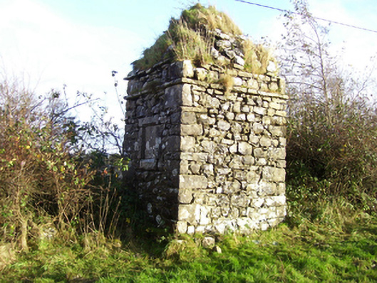 monumentmonument · 1097 yd
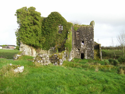 mill (water)mill (water) · 1215 yd
 Enclosure in Milltown (dunmore By.)Enclosure · 1.0 mi
 IndicatedEnclosure · 1.1 mi
 Bawn in Kilcloony (dunmore By.)Bawn · 2.6 mi
 Fartamore Castle (ruins)Castle · 3.8 mi
 Oak WoodForest · 5.4 mi
 Geoffrey's WoodForest · 5.9 mi
 Mass RockNamed rock · 7.3 mi
 Inis Mhic an TrírIsland · 17 mi
 Milltown Bridgebridge · 1.1 mi
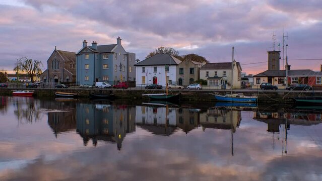 Leacht cuimhne in ConagherLeacht cuimhne · 1.2 mi