What is recorded here
Fairy fort / earthen ringfort in Colgagh is a fairy fort or earthen ringfort in Colgagh, County Sligo, Ireland. The circular site spans twenty-four metres and holds a substantial earth and stone bank six metres wide. A near vertical rock cut scarp replaces the bank along the northwest and northeast edge because the natural slope abuts that side. A relic drystone wall runs along the external upper break of slope while the southern interior sits lower than the surrounding ground due to the underlying terrain.
Situated on a moderate to steep NNE-facing slope, in gently undulating pasture. A steep E-W orientated N-facing slope breaks immediately to the N of the rath. Circular area (diam. 24m) enclosed by a substantial bank of earth and stone (Wth 6m; int. H 1.4-2.2m). At the external foot of the bank is a fosse (Wth 5m; D 0.8-1.75m). From NW-NE the bank is absent and the rath is defined by a near vertical rock cut scarp (ext. H 4m) formed by cutting back a steep natural E-W facing that abuts the N side of the site. The fosse is absent NW-NE at the base of the rock cut scarp. A relic NE-SW orientated drystone field wall extends along the external upper break of slope of the bank S-ENE. The original entrance is not recognisable. Due to the underlying natural slope the S half of the interior is lower than external ground level.
Compiled by: Patrick F. O'Donovan
Date of upload: 21 April 2011
The monument record does not grant public access. Check the route and ask the landowner before entering private land.
- What survives
- Recorded monument
Places near here
 Chapel (in Ruins)Church · 702 yd
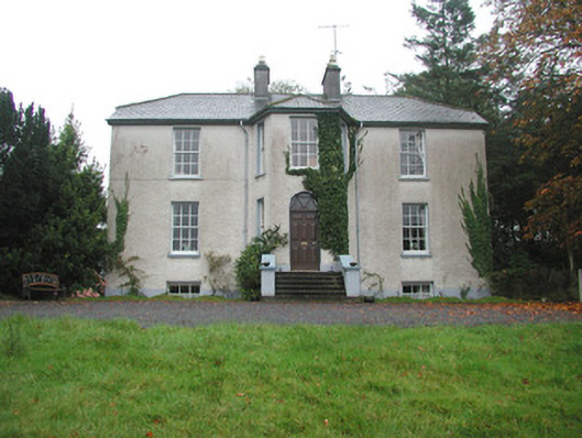 Colgagh Househouse · 874 yd
 CashelFairy fort / stone ringfort · 1283 yd
 Giants GraveCourt tomb · 1394 yd
 Court Tomb TrailWalking route · 1712 yd
 Legganore BayBay · 1.5 mi
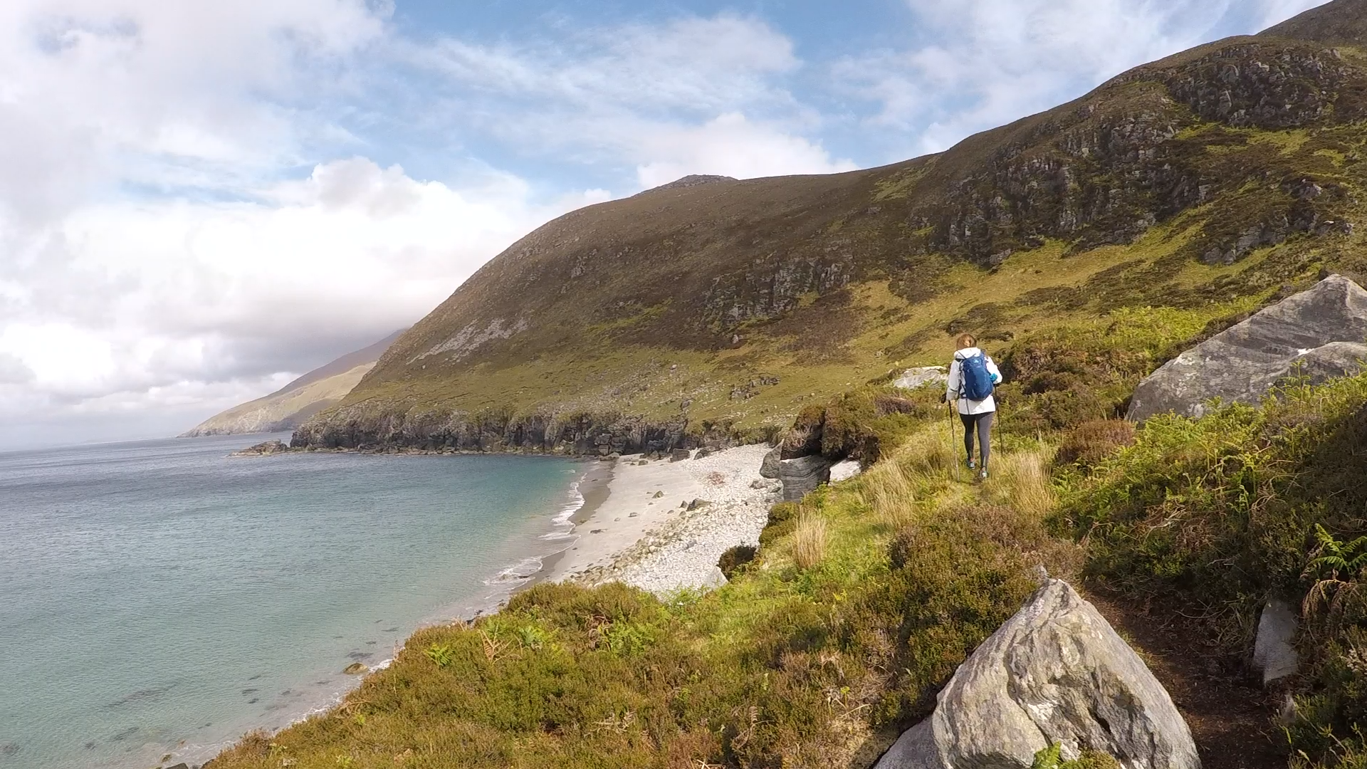 Annagh BayBay · 1.7 mi
 Annagh IslandIsland · 1.7 mi
 Swan IslandIslet · 1.8 mi
 Castle PointCastle, unclassified · 1.9 mi
 Keelogyboy Mtn SW TopMountain / peak · 2.0 mi
 HazelwoodWood · 2.1 mi