What is recorded here
No. Of Mapples = Lisbeg/An Lios Beag. Kind = Fairy fort / earthen ringfort. Area = Ballyferriter, County Kerry, Ireland. The request named a different place. Drop the closed list and build the visible local option for the place already named.
Lisbeg/An Lios Beag: This circular rath was levelled c. 1964. On the 2nd edition on the OS map it is enclosed by 1 complete bank with a 2nd bank, or possibly a fosse, around the N half only. Curran (no.83) noted 2 banks and a well-preserved fosse, but on an aerial photograph taken in 1949 (Ministry of Defence, V. 158/135), the site appears as a univallate enclosure, with the line of part of the 2nd bank being represented only by a curve in the adjacent field wall. According to Curran the enclosure was c. 30m in diameter. Though a Man-made underground passage has been noted at the site (local information; OSNB Kildrum, 30), no such structure was revealed when the site was levelled. Curran also noted a well with a never-failing spring of water. He described this as well-built and roofed 'but so low that access was obtained only by crawling on hands and knees'. Perhaps the Man-made underground passage (KE043-135001-) and the well were one and the same structure.
The above description is derived from J. Cuppage, ‘Corca Dhuibhne. Dingle Peninsula archaeological survey. Ballyferriter. Oidhreacht Chorca Dhuibhne’ (1986), no. 714. In certain instances the entries have been revised and updated in the light of recent research.
Date of upload: 7 August 2013
The monument record does not grant public access. Check the route and ask the landowner before entering private land.
- What survives
- Recorded monument
Places near here
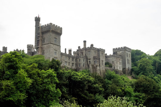 LismoreArchaeological place · 210 yd
 Man-made underground passage in Cnoc An Bhróigín Thiar,cnoc An Bhróigín ThoirMan-made underground passage · 220 yd
 Church in Cill FhiontainChurch · 1022 yd
 Templemanaghan (Oratory)Church · 1.3 mi
 Tower (in ruins)Castle, unclassified · 1.4 mi
 Binn BreacMountain / peak · 1.5 mi
 Gallarus OratoryHeritage attraction · 1.9 mi
 Gallarus CastleCastle · 2.2 mi
 Dingle Marina Dive CentreHeritage attraction · 2.2 mi
 Charles HaugheyMemorial · 2.3 mi
 Memorial to all who lost their lives in our seas.Memorial · 2.4 mi
 An ScraigMountain / peak · 2.5 mi