What is recorded here
Magic is not invention when measurement repeats. The fort is a bivallate rath on the eastern slope of Knockavrogeen, with two earthen banks, a wide fosse, and an eastern causeway into a thirty-metre circle. It faces the Milltown valley and Dingle Harbour, while low mounds and short drystone walls inside suggest that people once shaped the dark before legend took the rest.
Internal diam. 30m
Lisgarve/An Lios Garbh: A bivallate rath situated on the E slopes of Knockavrogeen, with an excellent view along the valley of the Milltown river and across Dingle Harbour to the Iveragh Peninsula. The circular interior is enclosed by 2 earthen banks separated by a fosse, the outer bank being preserved only around the S half of the site. The outer bank rises 1 to 1.5m above the external ground level, .25 to 1.5m above the fosse and is 2.8 to 5.5m wide at base. The fosse is c. 3.5m wide. The inner bank rises up to 1.5m above the interior and 2.5m above the fosse; it is c. 4m wide at base. Access to the interior is provided by gaps in the inner and outer banks at E and by a corresponding causeway across the fosse. The gaps are 2.1m and 3.3m wide respectively. A number of other small breaks in the banks appear to have been caused by animals.
The interior has been much disturbed by the roots of trees and by the dumping of field clearance debris. A number of low mounds in the N sector suggest the former presence of structures of some kind, but the remains are too ruined to allow definite classification. Some very short stretches of drystone masonry, on the inner face of the bank here, may be the remains of the walls of these structures. One section, which forms part of a roughly circular structure abutting the bank at N, is .7m high and slightly corbelled. Some of these mounds may be related to the Man-made underground passage which is reputedly contained within the fort.
The above description is derived from J. Cuppage, ‘Corca Dhuibhne. Dingle Peninsula archaeological survey. Ballyferriter. Oidhreacht Chorca Dhuibhne’ (1986), no. 487. In certain instances the entries have been revised and updated in the light of recent research.
Date of upload: 7 August 2013
A bivallate earthen ringfort (fairy fort) on the east slopes of Cnoc An Bhróigín Thoir, likely dating to the early medieval period, with a diameter of 30 meters. It is associated with local folklore referring to it as "Lisgarve" or "An Lios Garbh," names that may reflect its rough or wild appearance and traditional beliefs in fairy habitation.
The monument record does not grant public access. Check the route and ask the landowner before entering private land.
- What survives
- Recorded monument
Places near here
 Man-made underground passage in Cnoc An Bhróigín ThoirMan-made underground passage · 7 yd
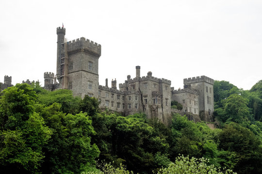 LismoreArchaeological place · 379 yd
 Church in Cill FhiontainChurch · 1241 yd
 Tower (in ruins)Castle, unclassified · 1.3 mi
 Templemanaghan (Oratory)Church · 1.4 mi
 Binn BreacMountain / peak · 1.5 mi
 Gallarus OratoryHeritage attraction · 1.9 mi
 Gallarus CastleCastle · 2.2 mi
 Dingle Marina Dive CentreHeritage attraction · 2.3 mi
 Charles HaugheyMemorial · 2.4 mi
 Memorial to all who lost their lives in our seas.Memorial · 2.5 mi
 An ScraigMountain / peak · 2.5 mi