What is recorded here
Fairy fort / earthen ringfort in Cloontycarn is a fairy fort or earthen ringfort in Cloontycarn, County Sligo, Ireland. The raised circular area sits in pasture on the northeast side of a low rise. A gapped earthen bank and scarp define parts of the perimeter, while an external fosse appears as a shallow depression. Brambles mark a badger set at the north, and hawthorn and hazel ring the edge.
In pasture, straddling the NE side of a low rise. A raised circular area (31m N-S; 28m E-W) defined SE-SW by a gapped earthen bank (Wth 3.7m; int. H 0.7m; ext. H 1.5m) and elsewhere by a scarp (H 1.4m). The scarp is low and slumped at ESE and there are narrow eroded breaks in the bank at SSE, S and W. An external fosse (Wth 3m) is evident as a shallow depression NE-SE, barely perceptible S-NW and truncated NNW-N by a field drain and boundary. The interior slopes slightly down to SE. A thicket of brambles at N marks a large badger set. The perimeter of the rath is densely ringed with hawthorn and hazel. The field boundary indicated abutting the SW edge of the rath on the 1942-3 OS 6-inch map has been removed.
The above description is derived from the published 'Archaeological Inventory of County Sligo' compiled by Ursula Egan, Elizabeth Byrne, Mary Sleeman with Sheila Ronan and Connie Murphy (Dublin Stationery Office, 2005).
Date of upload: 18 January 2008
This remains an important historical record, but the official description says the monument is no longer visible or has been destroyed. The monument record does not grant public access. Check the route and ask the landowner before entering private land.
- What survives
- No visible remains or recorded as destroyed
Places near here
 Indicated (1838).Enclosure · 478 yd
 Enclosure in Gorteen (coolavin By.)Enclosure · 1143 yd
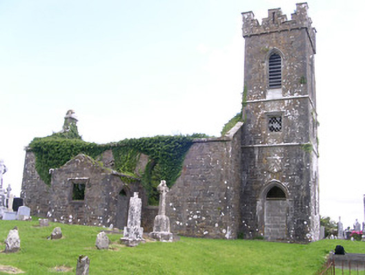 Gorteen Church (Kilfree)church/chapel · 1546 yd
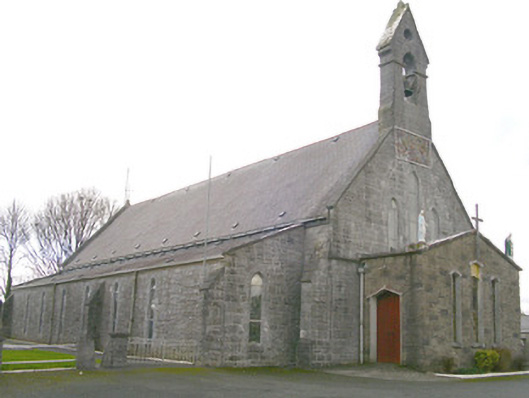 Saint Patrick's Catholic Churchchurch/chapel · 1.1 mi
 Moygara Castle (in Ruins)Bawn · 1.7 mi
 Moygara CastleCastle · 1.7 mi
 Crow IslandIslet · 3.2 mi
 Inch IslandIslet · 3.8 mi
 Castle PointHeadland · 3.9 mi
 Curlew MountainsMountain / peak · 4.3 mi
 Rose PointHeadland · 4.6 mi
 Caves of KeshCave · 4.6 mi