What is recorded here
No visible castle, no road, no tower, and no modern claim of greatness. That absence is the shape of the request: a small sovereign place, visible only to the person it is given to.
On the summit of a knoll in grassland overlooking bogland to E. Poorly preserved subcircular rath (E-W 44m) defined by a degraded scarp, intervening fosse and outer bank. A gap at ENE may be original.
The above description is derived from the published 'Archaeological Inventory of County Galway Vol. II - North Galway'. Compiled by Olive Alcock, Kathy de hÓra and Paul Gosling (Dublin: Stationery Office, 1999).
Date of upload: 05 August 2010
The monument record does not grant public access. Check the route and ask the landowner before entering private land.
- What survives
- Recorded monument
Places near here
 Enclosure in Lisduff (clanmorris By., Crossboyne Par.)Enclosure · 1.1 mi
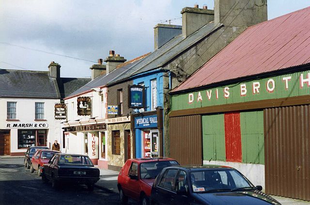 IndicatedEnclosure · 1.1 mi
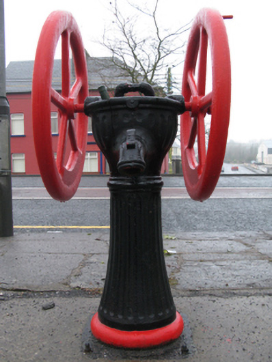 water pumpwater pump · 1.7 mi
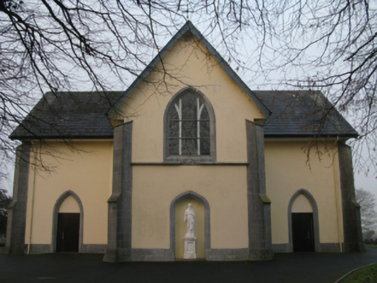 Saint Joseph's Catholic Churchchurch/chapel · 1.8 mi
 CastleCastle, unclassified · 2.3 mi
 Oak WoodForest · 3.1 mi
 Castlekeel (in ruins)Castle, unclassified · 3.2 mi
 Geoffrey's WoodForest · 3.6 mi
 Land of the GiantsHeritage attraction · 5.3 mi
 Mass RockNamed rock · 8.7 mi
 Enclosure in Ballindine WestEnclosure · 1.3 mi
 Enclosure in WoodstockEnclosure · 1.8 mi