What is recorded here
Half a road, half a wall, half a ring of earth: Cloonmoyle’s fort still draws its shallow circle on the SW slope, though cars now cross where its gate may have stood. Two banks and a ditch survive from south to west, while the eastern half has surrendered to grass and forgetting. A second ringfort waits two hundred metres east, as if the hillside once held a small neighbourhood rather than a single home.
On SW slopes of a low hill in rolling grassland overlooking boggy terrain to SW. Poorly preserved subcircular rath (E-W 38.5m) defined by two banks and an intervening fosse from S to WNW. A road cuts through the monument at NW and NE, and it is bisected by a roughly N-S running field wall, to E of which only faint traces of the fosse survive. A conjoined ringfort (GA016-042----) lies c. 250m toE.
The above description is derived from the published 'Archaeological Inventory of County Galway Vol. II - North Galway'. Compiled by Olive Alcock, Kathy de hÓra and Paul Gosling (Dublin: Stationery Office, 1999).
Date of upload: 05 August 2010
The monument record does not grant public access. Check the route and ask the landowner before entering private land.
- What survives
- Recorded monument
Places near here
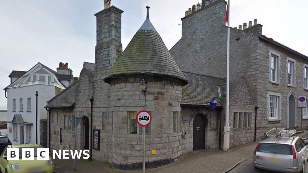 Enclosure in Castletown (dunmore By.)Enclosure · 1208 yd
 Settlement desertedSettlement deserted, medieval · 1389 yd
 Massmore Househouse · 1580 yd
 Bawn in Kilcloony (dunmore By.)Bawn · 1.5 mi
 Site of Doonbally CastleCastle, unclassified · 1.7 mi
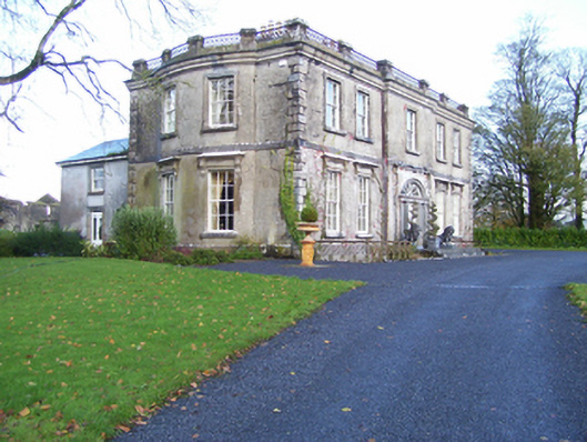 Quarrymount Househouse · 1.8 mi
 European ashEuropean ash · 2.7 mi
 Mass RockNamed rock · 4.5 mi
 KnockmaaWood · 7.7 mi
 Kilcoona Round TowerHeritage attraction · 11 mi
 Enclosure in Tullybeg SouthEnclosure · 1550 yd
 Scrat na nDeorRitual site, holy tree/bush · 1562 yd