What is recorded here
Fairy fort in Cloonmore, County Cork: a levelled ringfort, 32m wide, with a faint rising border and a shallow outer ditch still visible through pasture. On the 1842 map it stood out as a circular enclosure about 40m across; now the land has rubbed much of its edge into grass and rain. People may have lived there, fenced it, lost it and forgotten it, while the ditch kept its own quiet line beneath the feet of passing cattle.
In level pasture. Depicted as hachured circular enclosure (diam. c. 40m) on 1842 OS 6-inch map. Levelled; circular area (32m E-W; 31m N-S) defined by low rise (H 0.2m) NE->SW; external fosse (D 0.5m) clearly visible ESE->N.
The above description is derived from the published 'Archaeological Inventory of County Cork. Volume 4: North Cork' (Dublin: Stationery Office, 2000). In certain instances the entries have been revised and updated in the light of recent research.
Date of upload/revision: 14 January 2009
The monument record does not grant public access. Check the route and ask the landowner before entering private land.
- What survives
- Recorded monument
Places near here
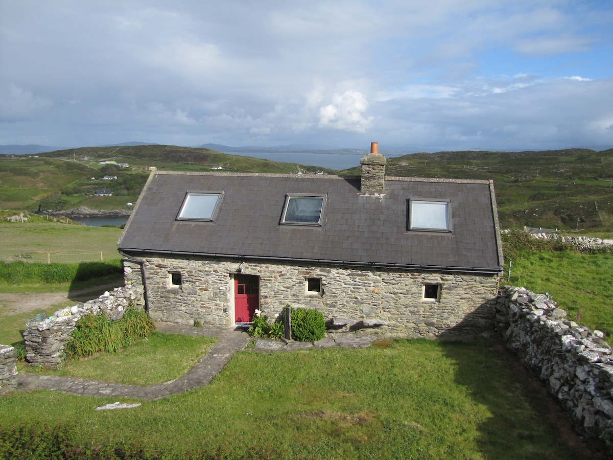 Enclosure in CoolasmuttaneEnclosure · 202 yd
 IndicatedHouse, vernacular house · 861 yd
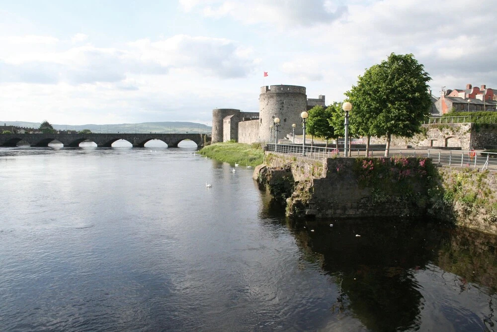 Fulacht fia in Gortroe (connello Lower By.)Fulacht fia · 1535 yd
 TumulusCastle, motte · 1.1 mi
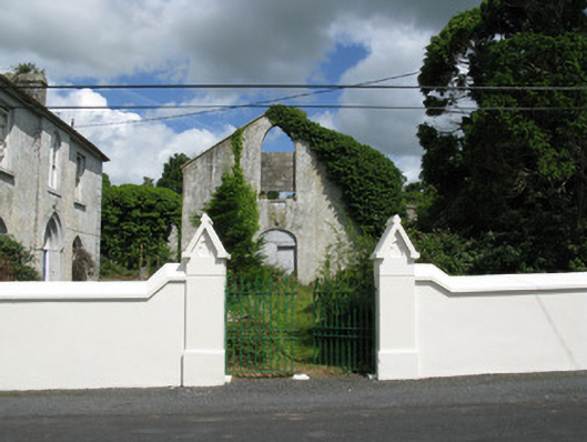 Colmanswell Catholic Churchchurch/chapel · 1.2 mi
 Bawn in CregganeBawn · 2.6 mi
 Holy Cross CemeteryGraveyard · 2.8 mi
 Saint Derivla's WellSpring · 3.7 mi
 Our Lady's WellSpring · 5.0 mi
 CarrigeenMountain / peak · 6.6 mi
 National Co-op MuseumMuseum · 7.3 mi
 Battle of LiscarrollMajor battlefield · 7.7 mi