What is recorded here
Fairy fort in Cloonkeen, County Galway: an oval earthen ring on a grassy rise, partly lost but still measurable at nearly thirty-eight by twenty-six metres. A one-metre scarp marks the edge, a western terrace hints at a ditch and outer bank, and a quarry cuts the south-west interior. People may have lived, worked or fled there before the land smoothed the truth. The fort keeps its shape only because memory and soil still agree.
On a rise in rolling grassland. Poorly preserved oval rath (N-S 37.7m, E-W 25.5m) defined by a scarp (H c. 1m). A slight terrace (Wth 6m), to W of scarp, may indicate the possibility of an intervening fosse and outer bank. There is a quarry in SW quadrant of the interior.
The above description is derived from the published 'Archaeological Inventory of County Galway Vol. II - North Galway'. Compiled by Olive Alcock, Kathy de hÓra and Paul Gosling (Dublin: Stationery Office, 1999).
Date of upload: 05 August 2010
The monument record does not grant public access. Check the route and ask the landowner before entering private land.
- What survives
- Recorded monument
Places near here
 Kilkerrin Church (in ruins)Church · 995 yd
 Penal Mass station in Ballaghduff,slieveroe (tiaquin By.)Penal Mass station · 1138 yd
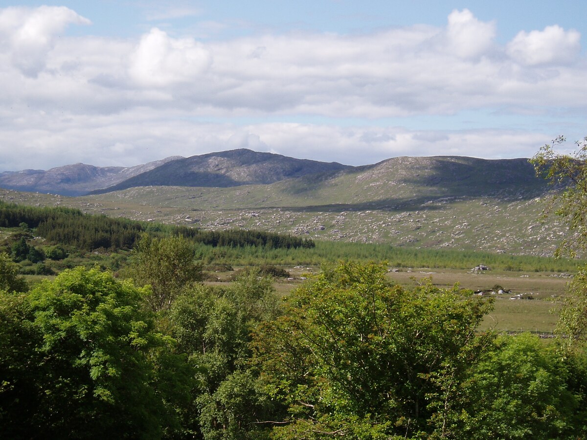 LissardFairy fort / earthen ringfort · 1.5 mi
 Enclosure in Kilcornan (tiaquin By.)Enclosure · 1.6 mi
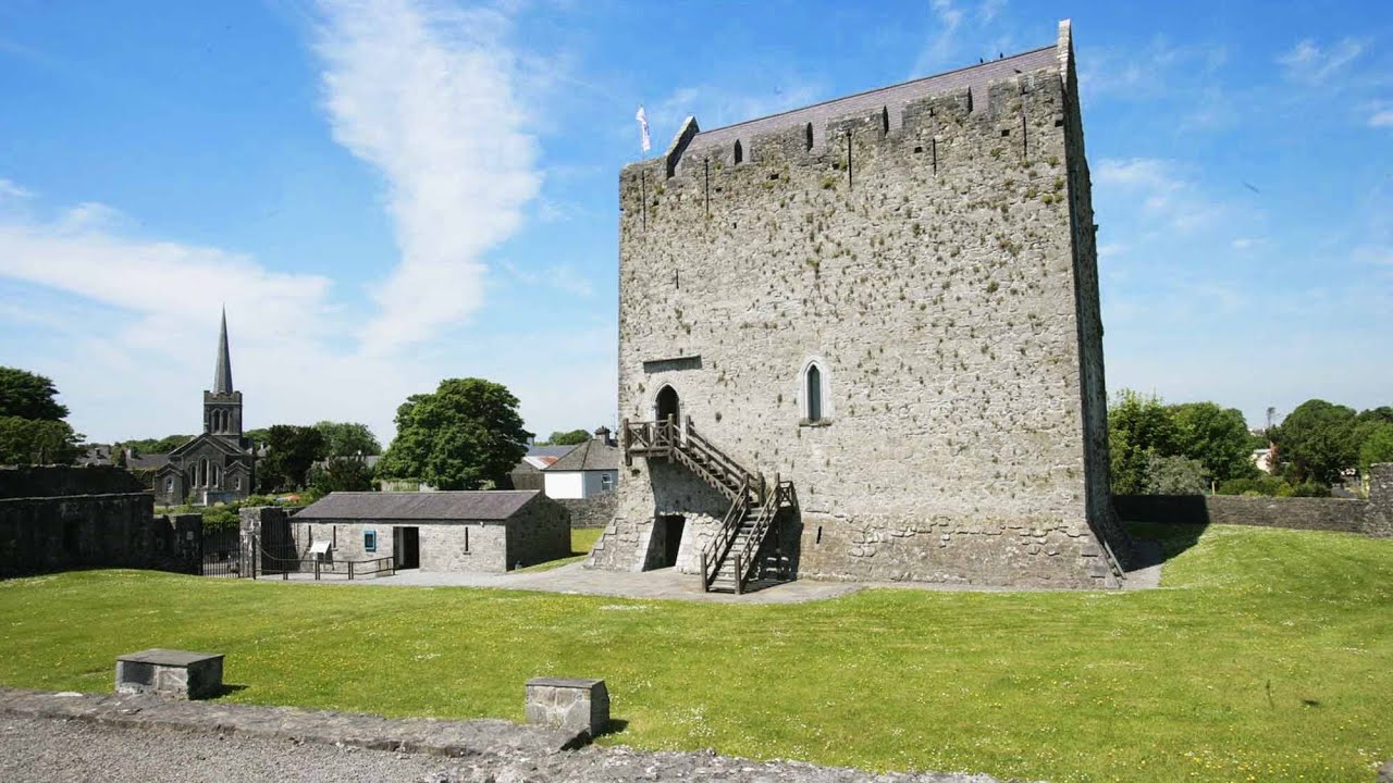 Lerhin CastleCastle · 2.1 mi
 Park CastleCastle · 2.1 mi
 HawthornHawthorn · 4.9 mi
 Ballinlass Eviction MemorialMemorial · 6.3 mi
 Wych ElmWych Elm · 6.3 mi
 Mount MaryMountain / peak · 8.3 mi
 Menlough IRAMemorial · 9.0 mi
 Knockmoy AbbeyHeritage attraction · 9.8 mi