What is recorded here
Fairy fort / earthen ringfort in Cloongad is a fairy fort or earthen ringfort in Cloongad, County Sligo, Ireland. It occupies an east-facing slope just below the ridge top. The roughly circular site measures 46 metres north-south and 42 metres east-west. An earthen bank and scarp define most of the perimeter.
On an E-facing slope just below the top of a ridge. A raised roughly circular area (46m N-S; 42m E-W) defined by an earthen bank (Wth 2m; int. H 0.8m; ext. H 1m) SE-N and by a scarp (H 1.4m) N-SE. The line of a silted-up external fosse is marked by a band of irises (Wth 2m) along W arc. There is an entrance (Wth 2m) at N with the bank on the W side slightly splaying outwards. The W portion of the interior is level while the E portion slopes slightly down to E. Field boundaries (on a NE-SW axis) cross the NW and SE edges of the rath.
The above description is derived from the published 'Archaeological Inventory of County Sligo' compiled by Ursula Egan, Elizabeth Byrne, Mary Sleeman with Sheila Ronan and Connie Murphy (Dublin Stationery Office, 2005).
Date of upload: 18 January 2008
The monument record does not grant public access. Check the route and ask the landowner before entering private land.
- What survives
- Recorded monument
Places near here
 LisrisisFairy fort / earthen ringfort · 927 yd
 CaltraghFairy fort / earthen ringfort · 1027 yd
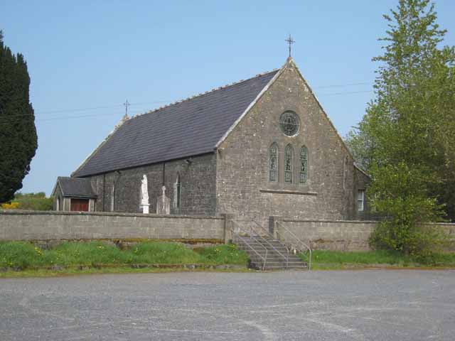 Saint Patrick's Catholic Churchchurch/chapel · 1111 yd
 Castlebaldwincastle/fortified house · 1634 yd
 Castle BaldwinCastle · 1635 yd
 Bricklieve Castle (in Ruins)Castle, unclassified · 1708 yd
 Annaghgowla IslandIslet · 2.1 mi
 School CaveCave · 2.2 mi
 Treanscrabbagh caveCave · 2.2 mi
 Bricklieve MountainsMountain / peak · 2.2 mi
 InishmoreIslet · 2.6 mi
 Kesh CorannMountain / peak · 2.7 mi