What is recorded here
Half-buried in grass on a gentle south-facing slope in Clooney, the fort keeps its shape like a breath held under soil. Its western bank still stands tall enough to mark the edge of the world, but the eastern side has softened into a shallow scar where rain and forgetting did their work. The narrow north-west entrance invites you in, yet the whole circle feels less like a ruin than like a living thing that has stopped answering names.
Located on a gentle S-facing slope. This is a grass-covered circular area (int. diam. 29m E-W) defined by an overgrown earthen bank which is best preserved at W (Wth 3m; int. H 1.1m; ext. H 1m) but which is reduced to a scarp (H 0.4m) E-S. There is a slight but overgrown external fosse, and an entrance (Wth 4.1m) with a causeway is at NW.
The above description is derived from 'The Archaeological Inventory of County Leitrim' compiled by Michael J. Moore (Dublin: Stationery Office, 2003). In certain instances the entries have been revised and updated in the light of recent research.
Date of upload: 23 September 2008
The monument record does not grant public access. Check the route and ask the landowner before entering private land.
- What survives
- Recorded monument
Places near here
 FortsFairy fort / ringfort · 985 yd
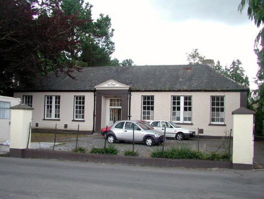 Keshcarrigan Vocational Schoolcollege · 1425 yd
 Sheebeg CairnArchaeological place · 1426 yd
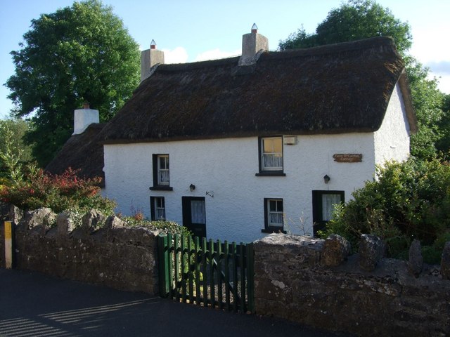 Fionn McCumhail Cottagehouse · 1539 yd
 Castle JohnCastle · 1.4 mi
 Whiskey IslandIslet · 1.5 mi
 Otter IslandIsland · 1.5 mi
 CastleforeCastle, tower house · 2.3 mi
 Sheemore Ambush MemorialMonument · 2.8 mi
 Leabaidh DermotCave · 3.1 mi
 Shannon-Erne WaterwayVisitor information · 5.0 mi
 Declaration of IndependenceMemorial · 5.9 mi