What is recorded here
No visible trace remains in Cloonee, though James O'Shea farmed the land where the rath disappeared. Capt. D. B. O'Connell counted two lisses there in the 1930s, and the forgotten fort likely hides beneath ordinary soil.
A rath was recorded in the 1940s in 'James O'Shea's farm in East Clonee' (SMCK). It has not been precisely located. It is also probably one of the 'two lisses' (see KE101-034----) recorded in the townland by Capt. D. B. O'Connell in the 1930s (KAS). It is most likely that this possible rath is in that part of the townland that is on the OS 6-inch map 101.
The above description is derived from the published 'Archaeological Inventory of County Kerry. Volume I: South-West Kerry' (Dublin: Stationery Office, 2009). In certain instances the entries have been revised and updated in the light of recent research.
Date of upload: 30 May 2011
The monument record does not grant public access. Check the route and ask the landowner before entering private land.
- What survives
- Recorded monument
Places near here
 DispensaryBuilding · 223 yd
 Ardea Br.Bridge · 341 yd
 Ormond's IslandIslet · 1171 yd
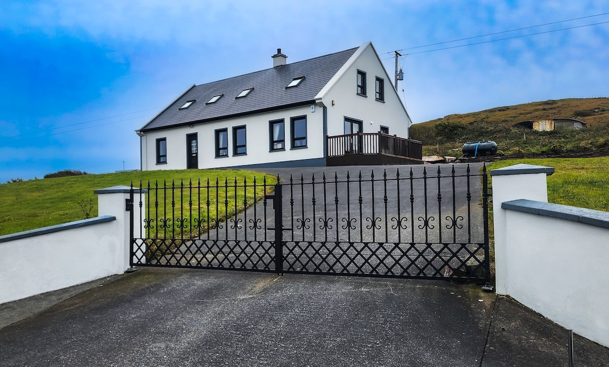 Enclosure in DerryloughEnclosure · 1571 yd
 Field boundary in DerryloughField boundary · 1604 yd
 Lackeen PointHeadland · 2.2 mi
 DrombohillyMountain / peak · 2.4 mi
 Rossmore IslandIsland · 2.4 mi
 KnockateeMountain / peak · 2.6 mi
 Uragh WoodForest · 2.6 mi
 Uragh Wood Nature ReserveNature reserve · 2.7 mi
 Dromore CastleCastle · 3.1 mi