What is recorded here
Half-hidden under conifers on a drumlin ridge in Cloonbannive, the fairy fort keeps its D-shaped grass bowl and rush-edged scarps intact. A field wall and road have bitten into its northwest edge, but the rest still stands unplanted, waiting for someone to notice the entrance it no longer shows.
Located just off the top of the W end of an E-W drumlin ridge. This is a grass-covered D-shaped area (dims 24.3m ENE-WSW; 22.5m NNW-SSE) defined by a scarp (H 0.1-0.7m) and an external band of rushes (Wth 2.5-3.3m). The original entrance is not identified, and the monument is truncated by a NE-SW field wall and road at NW (L 23m). It remains unplanted in a coniferous forest (Bing 2013).
The above description is derived from 'The Archaeological Inventory of County Leitrim' compiled by Michael J. Moore (Dublin: Stationery Office, 2003). In certain instances the entries have been revised and updated in the light of recent research.
Date of upload: 23 September 2008
The monument record does not grant public access. Check the route and ask the landowner before entering private land.
- What survives
- Recorded monument
Places near here
 IndicatedSweathouse · 581 yd
 Enclosure in BeaghEnclosure · 650 yd
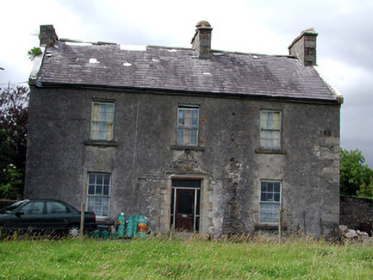 Drumkeel Housefarm house · 1.7 mi
 St. Michaels ChurchChurch · 2.0 mi
 Old HallCastle, hall-house · 3.1 mi
 Green IslandIslet · 3.7 mi
 MoteCastle, motte · 4.1 mi
 Carrane HillCliff · 4.3 mi
 Cullentra ForestForest · 5.1 mi
 Trawane BayBay · 5.6 mi
 InnisfreeIslet · 5.7 mi
 Parke's CastleHeritage attraction · 5.9 mi