What is recorded here
Inside Cloonametagh, a broad earthen bank still circles a raised floor, measuring thirty-two to thirty-five metres across despite centuries of leveling. The name suggests fairies, yet the shape fits human hands: a rath built to keep rain, wind and intrudes at bay. Perhaps children once ran its edge at dusk, believing the ground itself was watching back.
Internal diameter 32m N-S, 35m E-W
Though this univallate rath has now been much levelled, it is still quite distinguishable. It consists of a sub-circular area enclosed by a bank which is on average 10m wide at the base and rises to a maximum of 1.5m above the interior and 2.2m above the external ground level. The interior is at a higher level than the surrounding land.
The above description is derived from C. Toal, ‘North Kerry Archaeological Survey’. Dingle. Brandon in association with FAS Training and Employment Authority (1995), no. 741. In certain instances the entries have been revised and updated in the light of recent research.
Date of upload: 2 August 2013
The monument record does not grant public access. Check the route and ask the landowner before entering private land.
- What survives
- Recorded monument
Places near here
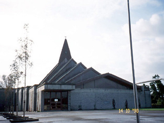 Saint Bernard's Catholic Churchchurch/chapel · 775 yd
 Abbeydorney Monastery (in ruins)Religious house, Cistercian monks · 1596 yd
 Enclosure in Lacka MoreEnclosure · 1698 yd
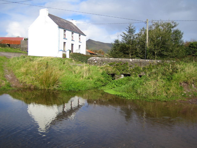 LissadroughArchaeological place · 1.3 mi
 Kilflynn Nature ReserveNature reserve · 2.4 mi
 Tobar na MoltSpring · 2.4 mi
 Ballymacaquinn Castle (remains of)Castle · 2.9 mi
 CruslineMountain / peak · 3.4 mi
 Ardfert Franciscan FriaryVisitor information · 3.9 mi
 Ardfert FriaryVisitor information · 3.9 mi
 Site of CastleCastle, unclassified · 4.2 mi
 Statue of Roger CasementMemorial · 4.2 mi