What is recorded here
This site encompasses the top of a hill, in hilly, undulating terrain. The interior rises with the natural rise of the hill with ground sloping off in all directions. Depicted in woodland on the 1st and latest ed. OS 6-inch maps. The hill immediately W of the site has been quarried away and a house constructed in the quarry shelter. The W portion of the site has been damaged by this quarrying.. The present remains consist of a roughly circular area (diam. 38.7m N-S; 40.6m E-W) defined by an earthen bank (Wth 1.6m; int. H 0.32; ext. H 1.37) which only survives undisturbed at E. A break in the SE quadrant (Wth 3.7m) may be the remains of an entrance and there is a depression in the NE quadrant where the interior was quarried into. The commanding position of this site is not typical of ringforts and this may be a tree-ring.
The above description is derived from 'The Archaeological Inventory of County Tipperary. Vol. 1 - North Tipperary' compiled by Jean Farrelly and Caimin O'Brien (Dublin: Stationery Office, 2002). In certain instances the entries have been revised and updated in the light of recent research.
Date of upload/revision: 22 September 2008
The monument record does not grant public access. Check the route and ask the landowner before entering private land.
- What survives
- Recorded monument
Places near here
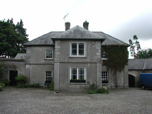 Fancroft Millsmiller's house · 824 yd
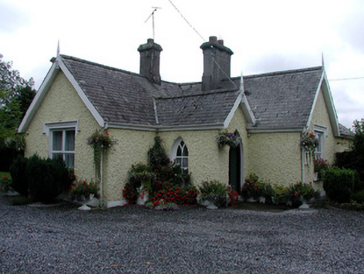 Dungar Cemeterygraveyard/cemetery · 1038 yd
 Burial groundGraveyard · 1314 yd
 IndicatedCastle, motte · 1329 yd
 Golden Grove HillMountain / peak · 1376 yd
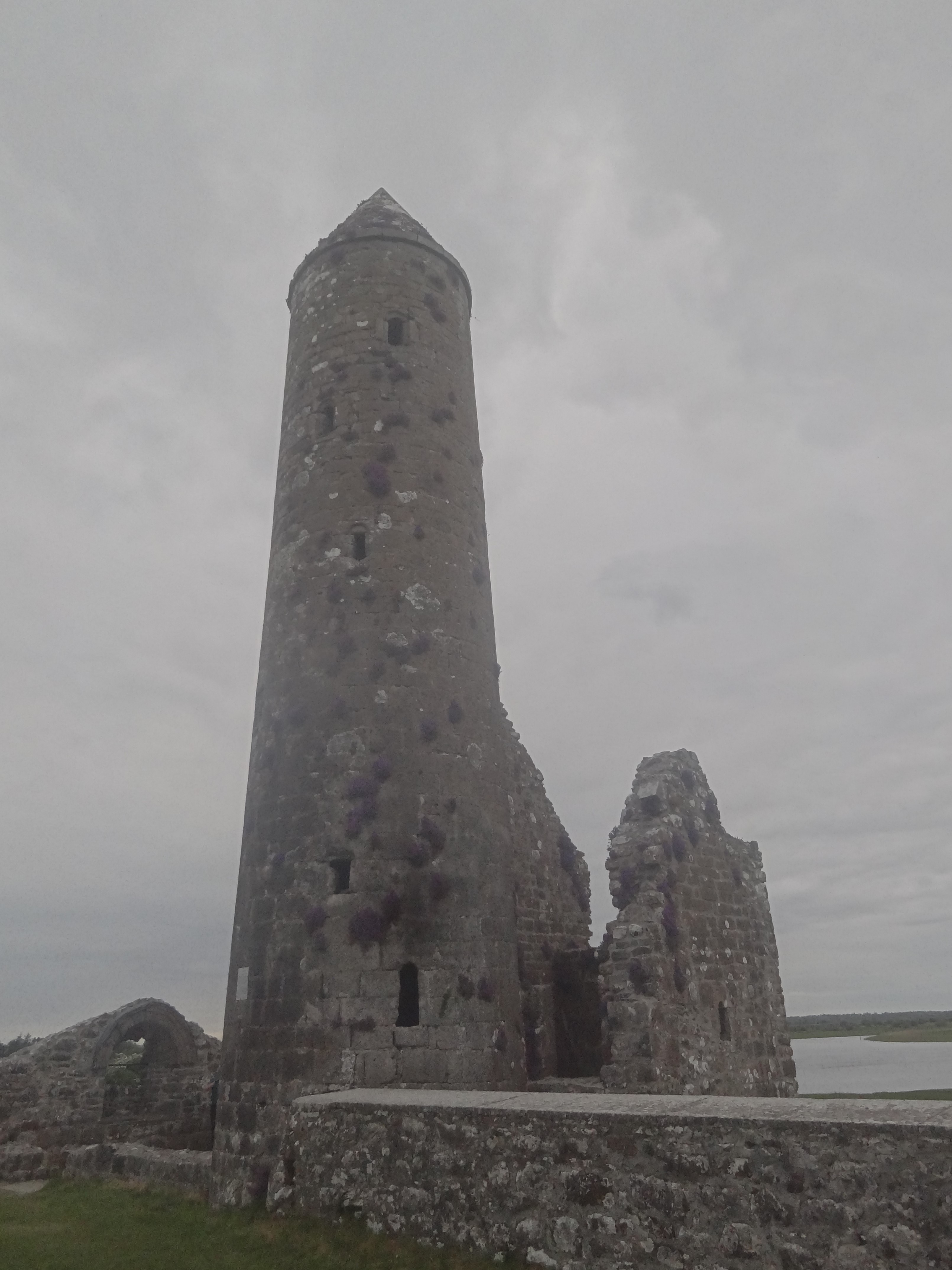 Ecclesiastical enclosure in FancroftEcclesiastical enclosure · 1387 yd
 Bawn in DungarBawn · 1727 yd
 Golden Grove WoodWood · 1.1 mi
 Millennium GardenMemorial · 1.3 mi
 European ashEuropean ash · 1.7 mi
 Eagle HillMountain / peak · 1.7 mi
 Roscrea Petty Sessions HouseHeritage attraction · 1.7 mi