What is recorded here
Cloghleafin is a fairy fort, an earthen ringfort that once stood atop a west-facing slope in Marshalstown Parish. The 1842 Ordnance Survey map drew it as a rough circle twenty-five metres wide, but ploughs and time have levelled it into invisible pasture. Whatever lived inside that ring is gone, leaving only a flat field where a whole world might have turned.
In pasture, atop W-facing slope. Depicted as hachured roughly circular enclosure (diam. c. 25m) on 1842 OS 6-inch map. Levelled; no visible surface trace.
The above description is derived from the published 'Archaeological Inventory of County Cork. Volume 4: North Cork' (Dublin: Stationery Office, 2000). In certain instances the entries have been revised and updated in the light of recent research.
Date of upload/revision: 14 January 2009
The monument record does not grant public access. Check the route and ask the landowner before entering private land.
- What survives
- Recorded monument
Places near here
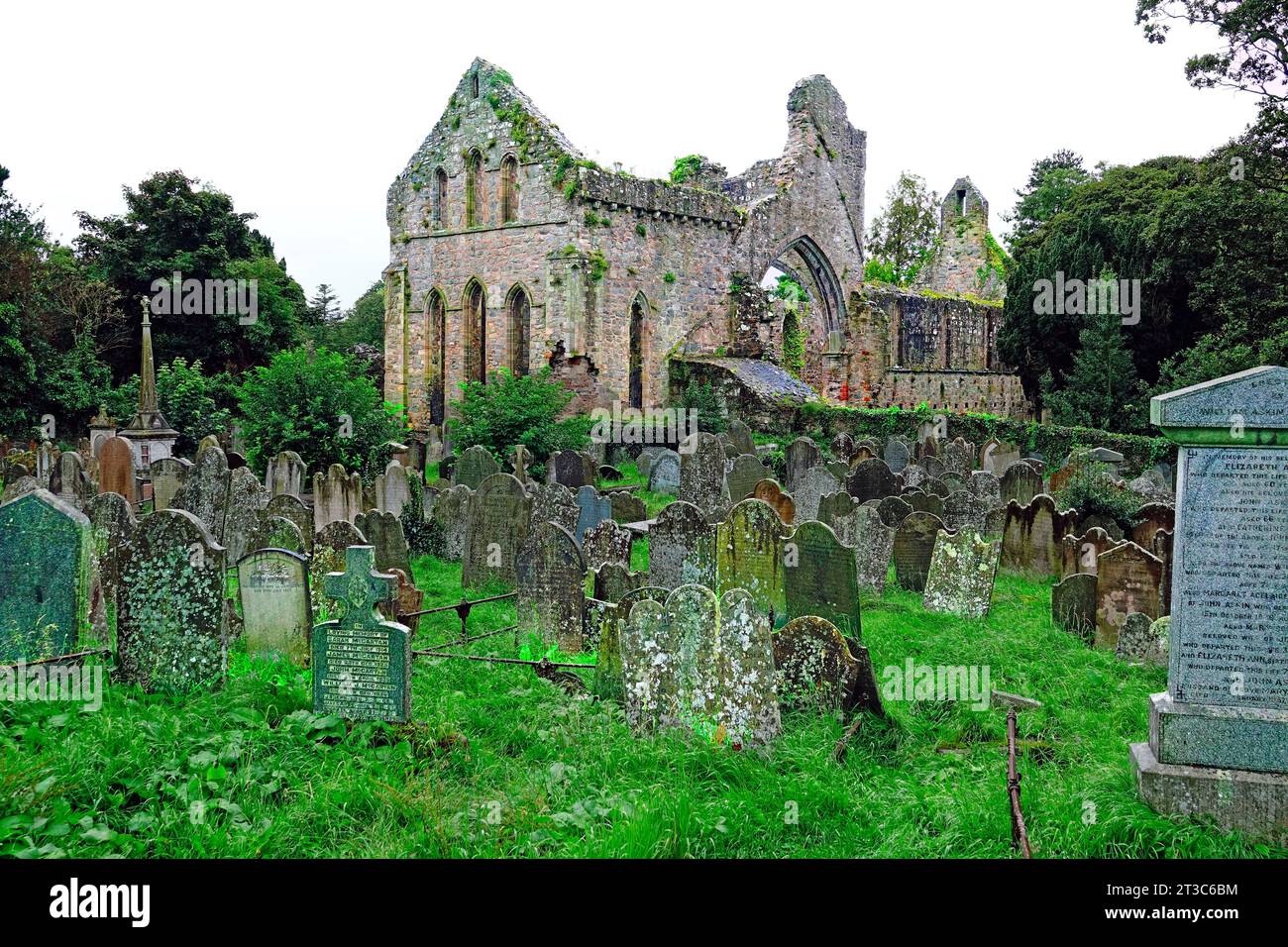 Enclosure in Cloghleafin (condons and Clongibbon By., Marshalstown Par.)Enclosure · 390 yd
 Ballydeloughy Church (in Ruins)Church · 1079 yd
 Grave YardGraveyard · 1080 yd
 Ballyloughy CastleCastle · 1185 yd
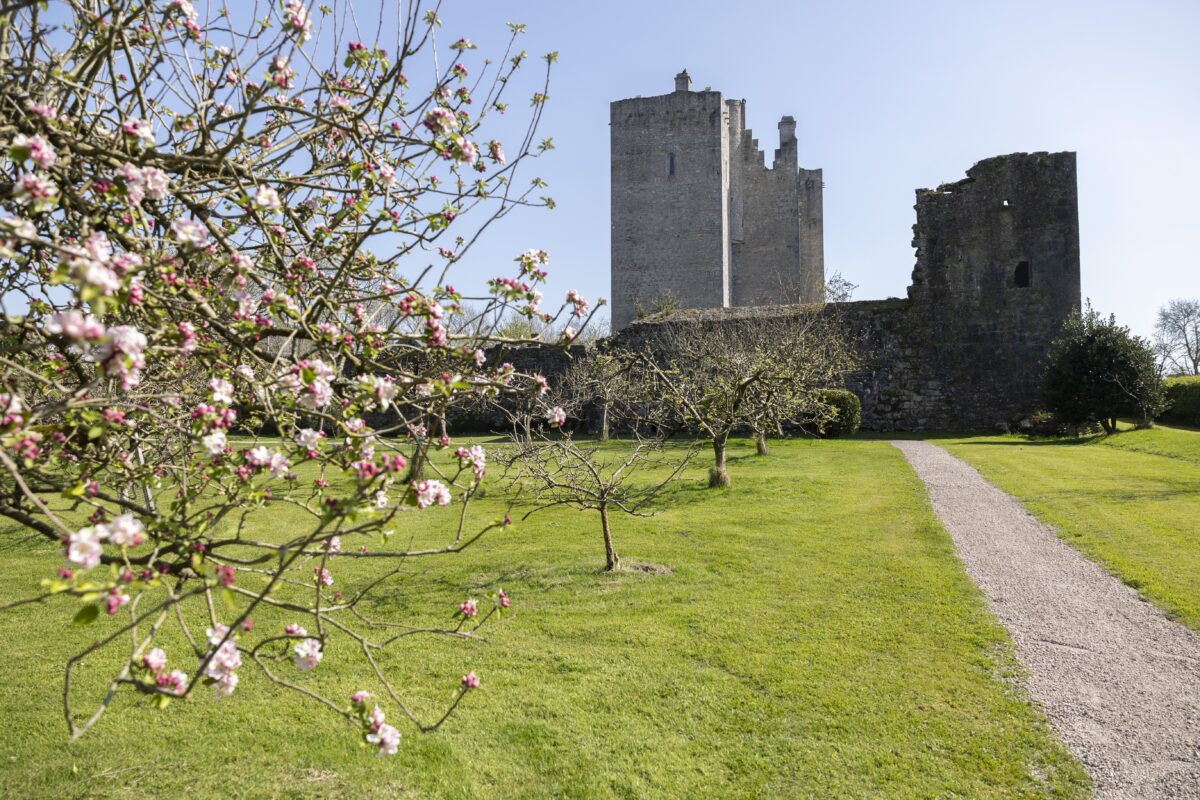 IndicatedKiln, lime · 1431 yd
 CastleCastle, unclassified · 1.0 mi
 Flat cemetery in Ballyenahan NorthFlat cemetery · 2.1 mi
 Kilclooney WoodWood · 3.0 mi
 St Dominick's WellSpring · 3.8 mi
 Graveyard in BoherashGraveyard · 3.8 mi
 FlagCave · 4.2 mi
 North Meadow WoodForest · 4.4 mi