What is recorded here
Quarrying has bitten eight metres into the south side of the Clodah ringfort, exposing the hidden depth beneath the pasture. The remaining earthen bank still rises one metre thirty centimetres on the north and east, marking a boundary that human tools have repeatedly recognised but never fully understood. What was taken from the south may have revealed more of the fort than centuries of grass ever showed.
In pasture, on S-facing slope. Marked as hachured circular enclosure (diam. c. 40m) on 1842 OS 6-inch map. Oval, slightly raised area (41.5m N-S; 33.7m E-W) enclosed by earthen bank (int. H 0.4m; ext. H 1.3m) to N and E; field boundary to W respects enclosure and may incorporate original bank. On S side quarrying has extended into interior by c. 8m. Shallow depression inside field boundary to W. Possible Man-made underground passage (CO083-071002-) in interior.
The above description is derived from the published 'Archaeological Inventory of County Cork. Volume 3: Mid Cork' (Dublin: Stationery Office, 1997). In certain instances the entries have been revised and updated in the light of recent research.
Date of upload/revision: 14 January 2009
The monument record does not grant public access. Check the route and ask the landowner before entering private land.
- What survives
- Recorded monument
Places near here
 Man-made underground passage in ClodahMan-made underground passage · 15 yd
 Enclosure in ClodahEnclosure · 556 yd
 Clodah CastleCastle · 691 yd
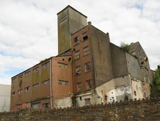 Bellmount Millsmill (water) · 1127 yd
 Penitential station in BallymichaelPenitential station · 1460 yd
 Independence MuseumMuseum · 1.4 mi
 Kilmurry WoodsPicnic place · 1.8 mi
 Priest MemorialMemorial · 1.8 mi
 Michael Collins MemorialMemorial · 1.9 mi
 Castlemore CastleCastle · 1.9 mi
 Andrew's WoodWood · 2.1 mi
 Stephen's WoodForest · 2.5 mi