What is recorded here
Fairy forts are not fairy forts. They are human made, likely homes or workshops from centuries ago. The true wonder is that people lived there, not ghosts.
Internal diameter 35.4m N-S, 34m E-W
This circular univallate rath is situated SE of KE009-029---- and in the corner of a pastoral field which is gently sloping N. Enclosed by a well-defined earthen bank c 6m wide, it rises to a maximum height of 4.4m externally and 3m above the Interior. An external fosse, only traceable SW through S to SE, is 1.6m wide and 1m below the height of the surrounding land. Two main openings provide access to the interior: one to the E c 8m wide and one to the W c 4m wide. The interior is at a higher level than the surrounding land, and in the SW sector there is a kidney-shaped mound c 6m high, which is curved towards the bank. At the top of the in-curve is the possible opening, 2.4m x 2.2m, for the Man-made underground passage (KE009-030001-). To the N of this kidney-shaped mound is a small mound, 2.6m x 2m and c 4m E of this is a sub-circular mound, 4m x 3.4m.
The above description is derived from C. Toal, ‘North Kerry Archaeological Survey’. Dingle. Brandon in association with FAS Training and Employment Authority (1995), no. 345. In certain instances the entries have been revised and updated in the light of recent research.
Date of upload: 2 August 2013
The monument record does not grant public access. Check the route and ask the landowner before entering private land.
- What survives
- Recorded monument
Places near here
 CastleCastle, tower house · 1255 yd
 Clashmealcon CavesCave · 1572 yd
 LismoyleArchaeological place · 1738 yd
 Man-made underground passage in Ardagh (clanmaurice By.)Man-made underground passage · 1.0 mi
 MineMine, lead · 1.1 mi
 Pierce's IslandIslet · 1.3 mi
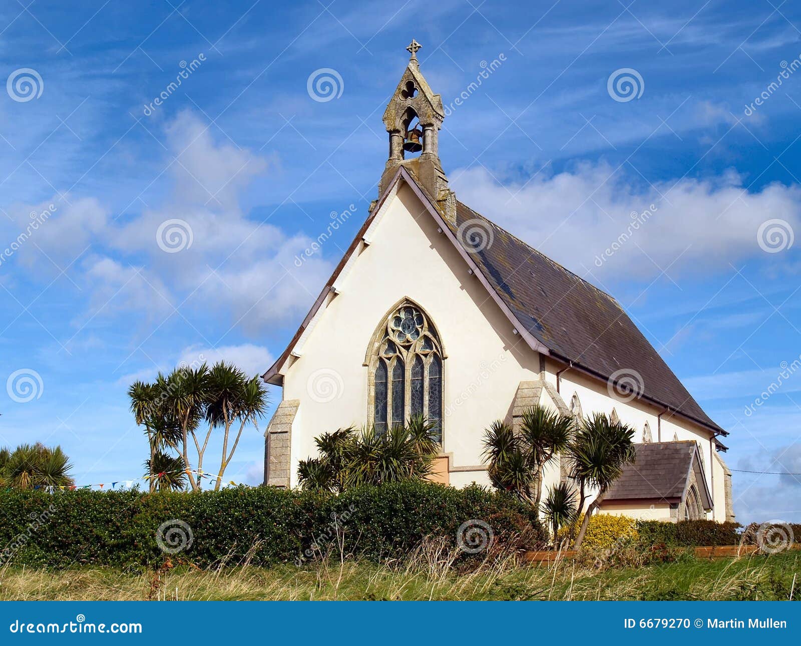 Church in Kilmore (clanmaurice By.)Church · 1.6 mi
 Long StrandBeach / strand · 3.0 mi
 Inshaboy PointHeadland · 3.1 mi
 Castle Shannon (in ruins)Castle, unclassified · 3.5 mi
 PulleenIslet · 3.7 mi
 Crazy GolfHeritage attraction · 3.8 mi