What is recorded here
Fairy fort in Clashmelcon, County Kerry: a circular earthen enclosure marked on the 1841-42 and 1915-16 OS maps, still visible in 1977 aerial photographs, now levelled with no surface trace left. It may have been a boundary, a trap for memory, or a chamber where the land kept what people forgot.
Marked on the 1841-42 and 1915-16 OS maps as a circular enclosure, this site also shows up very dearly on the Geological Survey of Ireland aerial photographs (1977). However, it has been levelled and no surface trace survives.
The above description is derived from C. Toal, ‘North Kerry Archaeological Survey’. Dingle. Brandon in association with FAS Training and Employment Authority (1995), no. 346. In certain instances the entries have been revised and updated in the light of recent research.
Date of upload: 2 August 2013
The monument record does not grant public access. Check the route and ask the landowner before entering private land.
- What survives
- Recorded monument
Places near here
 Man-made underground passage in Ardagh (clanmaurice By.)Man-made underground passage · 905 yd
 LismoyleArchaeological place · 1076 yd
 MineMine, lead · 1133 yd
 Pierce's IslandIslet · 1498 yd
 CastleCastle, tower house · 1508 yd
 Clashmealcon CavesCave · 1.4 mi
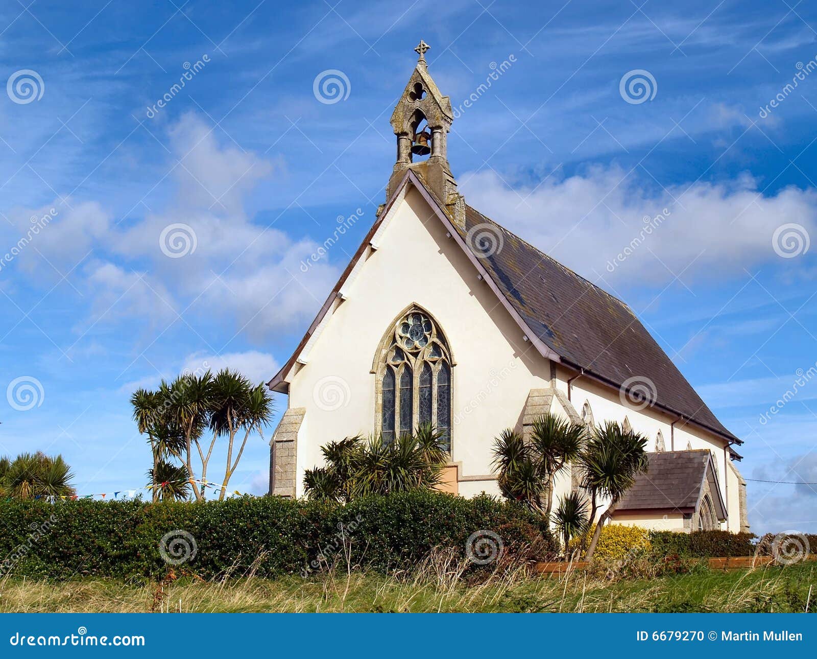 Church in Kilmore (clanmaurice By.)Church · 2.1 mi
 Inshaboy PointHeadland · 2.6 mi
 Castle Shannon (in ruins)Castle, unclassified · 3.0 mi
 Long StrandBeach / strand · 3.5 mi
 PulleenIslet · 4.3 mi
 Crazy GolfHeritage attraction · 4.3 mi