What is recorded here
Fairy forts hide inside ordinary farmland, waiting for drought or ploughing to reveal their edges. In Clashanure, that is exactly what happens: barley bends into rings when rain fails, and people keep picking stones from the surface year after year. The land remembers a fort even when nobody lives there anymore.
In tillage, on W-facing slope above stream flowing N to join River Lee. According to landowner, tradition of ringfort here; 'rings' visible in barley and in soil during very dry conditions; stone picked off surface every year.
The above description is derived from the published 'Archaeological Inventory of County Cork. Volume 3: Mid Cork' (Dublin: Stationery Office, 1997). In certain instances the entries have been revised and updated in the light of recent research.
Date of upload/revision: 14 January 2009
The monument record does not grant public access. Check the route and ask the landowner before entering private land.
- What survives
- Recorded monument
Places near here
 Church (Remains of)Ecclesiastical enclosure · 254 yd
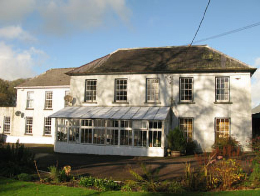 Clashanure Housecountry house · 371 yd
 Corn Mill (Disused)Mill, corn · 763 yd
 Fulacht fia in ClashanureFulacht fia · 1076 yd
 Bob AdamsMemorial · 1.2 mi
 Castle Inch (in Ruins)Castle, tower house · 1.4 mi
 Coachford Greenway (End)Visitor information · 1.6 mi
 Iniscarra Dam ViewViewpoint · 1.8 mi
 Farran WoodWood · 1.9 mi
 Kilcrea CastleWood · 2.1 mi
 Kilcrea Castle (in Ruins)Castle, tower house · 2.1 mi
 Ballyanly Inniscarra Slí na SláinteWalking route · 2.7 mi