What is recorded here
No visible fort remains at Lisheen, only a rectangular mound of stones on the east slope of Croaghmarhin. The level shoulder above it is the more likely ringfort site, suggesting the original earthworks slipped downhill and buried their own shape.
Lisheen/Lisín: Situated on the E slopes of Croaghmarhin overlooking the broad, low-lying crescent of land that surrounds Smerwick Harbour. It was described in the OSNB (Marhin, 27) as a 'small, circular fort', but the present remains consist of a rectangular, densely-overgrown mound of stones, 15m x 15.5m. This is located on a fairly steep slope, but a more likely site for the ringfort is a level shoulder of the hill directly upslope of the mound. It is possible that the monument was levelled downhill and that the mound contains the resulting debris.
The above description is derived from J. Cuppage, ‘Corca Dhuibhne. Dingle Peninsula archaeological survey. Ballyferriter. Oidhreacht Chorca Dhuibhne’ (1986), no. 600. In certain instances the entries have been revised and updated in the light of recent research.
Date of upload: 7 August 2013
The monument record does not grant public access. Check the route and ask the landowner before entering private land.
- What survives
- Recorded monument
Places near here
 Penitential station in Baile An BhaoithínPenitential station · 300 yd
 Church (in ruins)Church · 357 yd
 Ballineanig HillMountain / peak · 489 yd
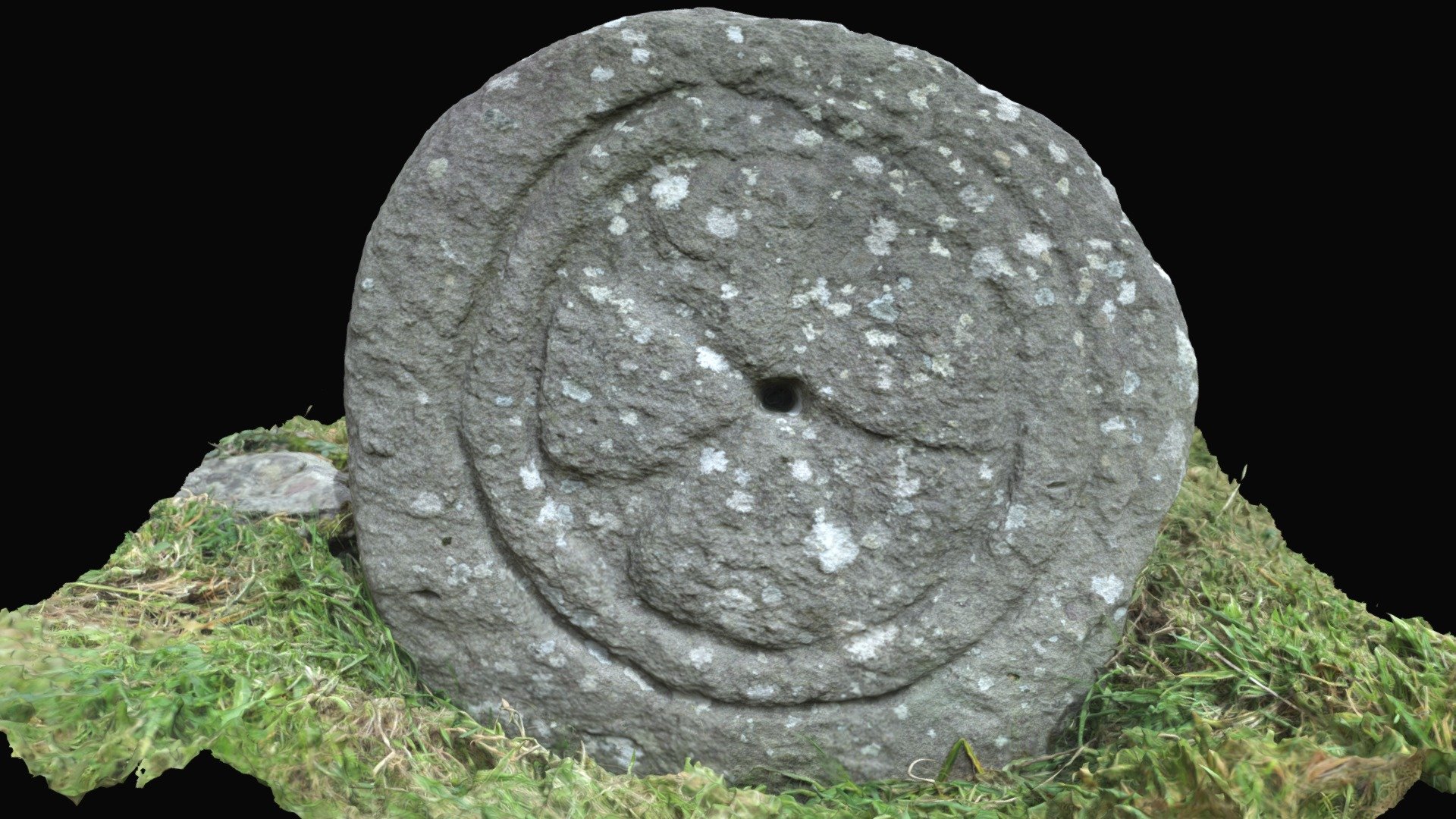 Cross in Baile An BhaoithínCross · 686 yd
 BallywiheenArchaeological place · 699 yd
 Músaem Chorca DhuibhneMuseum · 824 yd
 St Brendan's WellSpring · 1006 yd
 Riasc Monastic SettlementHeritage attraction · 1105 yd
 Trá an FhíonaBeach / strand · 1.3 mi
 Rahinnane Castle (in ruins)Castle, tower house · 1.4 mi
 Tráigh Bhéal BánBeach / strand · 1.5 mi
 Cruach MhárthainMountain / peak · 1.6 mi