What is recorded here
Fairy fort in Ceancullig, County Cork, occupies a low natural spur extending south from a farmyard, where undulating pasture still surrounds its roughly circular boundary. The earthwork measures 36m north-south and 40m east-west, raised 0.8m above the land, enclosed by a low bank standing 0.3m internally and 1.2m externally, with large boulders reinforcing its eastern and western base. Modern stone wall tops the northern bank while conifers crowd the southern interior, yet the ancient shape remains visible beneath grass and shadow. Whether humans built it or fairies inherited it, the place still holds its boundary against forgetting.
In undulating pasture, on low natural spur of land extending S from farmyard. Roughly circular area (36m N-S; 40m E-W) raised 0.8m above surrounding land; enclosed by low bank (int. H 0.3m; ext. H 1.2m); stone-faced externally with large boulders at base E->W. Bank topped by modern stone wall to N. S half of interior planted with conifers.
The above description is derived from the published 'Archaeological Inventory of County Cork. Volume 1: West Cork' (Dublin: Stationery Office, 1992). In certain instances the entries have been revised and updated in the light of recent research.
Date of upload/revision: 14 January 2009
The monument record does not grant public access. Check the route and ask the landowner before entering private land.
- What survives
- Recorded monument
Places near here
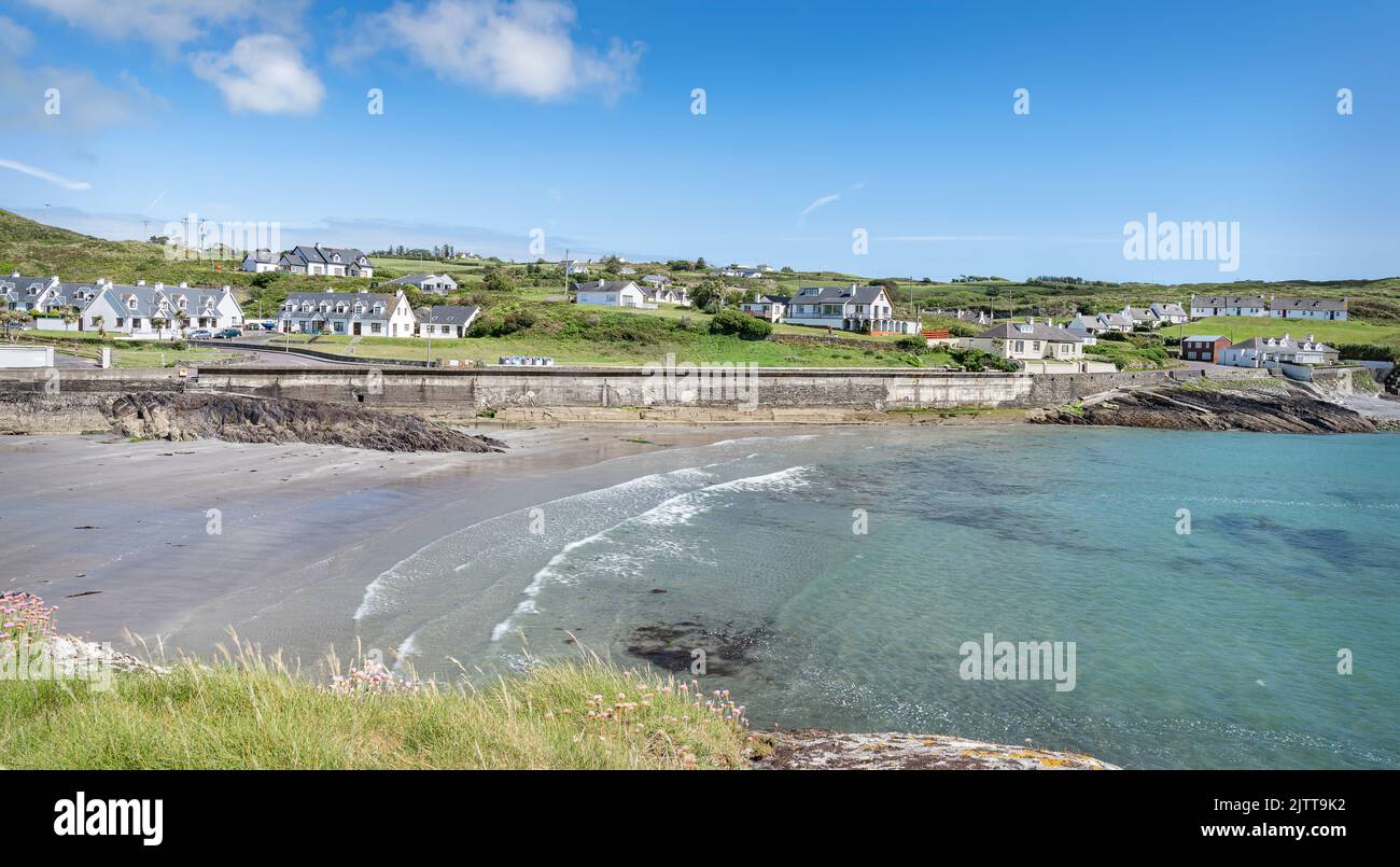 Fulacht fia in CeanculligFulacht fia · 510 yd
 Enclosure in CeanculligEnclosure · 1026 yd
 Delish Cascade WalkWalking route · 1500 yd
 Castle Donovan (in Ruins)Castle, tower house · 1.3 mi
 Castle DonovanCastle · 1.3 mi
 KilnKiln, corn-drying · 1.3 mi
 Drimoleague Heritage Loop WalkWalking route · 1.5 mi
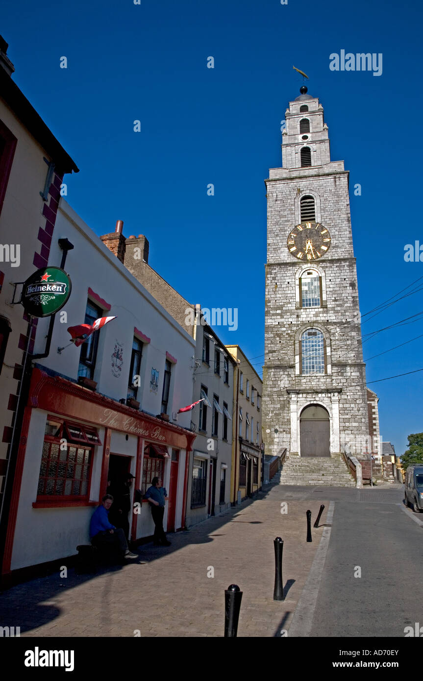 Church (in Ruins)Church · 1.6 mi
 Nowen Hill SW TopMountain / peak · 2.0 mi
 Milane HillMountain / peak · 2.3 mi
 Snave StrandBeach / strand · 9.1 mi
 Bishop MahonyMemorial · 9.3 mi