What is recorded here
Cavancreevy is a forgotten earthen ringfort on a Monaghan drumlin, reduced to a shallow D-shaped rise beside a field bank. It appeared briefly on an 1858 map as the site of a fort, then vanished from human notice until a house was built beside it. The land kept its shape while memory let go, turning a defensive place into a quiet mound where nobody anymore knows who watched the valley or why they stopped watching.
Situated on top of a drumlin. This location is marked only on a revision of the 1834 edition of the OS 6-inch map dated 1858 where it is described as ‘Site of fort’. There are slight traces of a D-shaped rise (H c. 1m) on the E side of a N-S field bank and hedge, but no feature is visible on the W side. A new house had been built just to the E by 2000 (OSAP).
The following description is derived from the published 'Archaeological Inventory of County Monaghan' (Dublin: Stationery Office, 1986). In certain instances the entries have been revised and updated in the light of recent research.
Date of revision: 26 January 2018
The monument record does not grant public access. Check the route and ask the landowner before entering private land.
- What survives
- Recorded monument
Places near here
 A.P. SITEA.P. SITE, large, double ditched enclosure · 1060 yd
 ENCLOSURE in KnockbaneENCLOSURE · 1314 yd
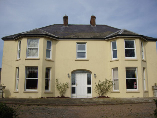 Greenmount Househouse · 1.7 mi
 bridgebridge · 1.7 mi
 Castleshane WaterfallWaterfall · 2.9 mi
 Battle of ClontibretBattlefield · 3.5 mi
 Caldwells' WoodWood · 3.6 mi
 Liscarney WoodWood · 3.7 mi
 Harry LaveryMemorial · 4.6 mi
 Keady MonumentMemorial · 5.5 mi
 Monaghan WayWalking route · 6.5 mi
 Mullyash MountainMountain / peak · 9.0 mi