What is recorded here
Fairy fort / earthen ringfort in Cavancreevy: a forgotten fort in County Monaghan, Ireland, recorded on an 1858 map but lost beneath changing field banks. It may have been a home, a shelter or a boundary marker, yet human hands have already erased its shape. What remains is a ghost on paper, waiting for someone to listen behind the soil.
This location is marked only on a revision of the 1834 edition of the OS 6-inch map dated 1858 where it is described as ‘Site of fort’. No archaeological feature is visible on aerial images (OSAP)in an area where the field banks have altered radically between the 1834 and 1907 editions of the OS 6-inch map.
The above description is derived from the published 'Archaeological Inventory of County Monaghan' (Dublin: Stationery Office, 1986). In certain instances the entries have been revised and updated in the light of recent research.
Date of revision: 26 January 2018
The monument record does not grant public access. Check the route and ask the landowner before entering private land.
- What survives
- Recorded monument
Places near here
 ENCLOSURE in KnockbaneENCLOSURE · 1020 yd
 A.P. SITEA.P. SITE, large, double ditched enclosure · 1454 yd
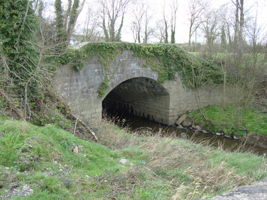 bridgebridge · 1.2 mi
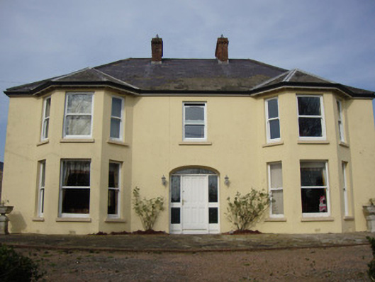 Greenmount Househouse · 1.7 mi
 Castleshane WaterfallWaterfall · 2.8 mi
 Caldwells' WoodWood · 3.3 mi
 Liscarney WoodWood · 3.4 mi
 Battle of ClontibretBattlefield · 3.7 mi
 Harry LaveryMemorial · 4.3 mi
 Monaghan County MuseumMuseum · 5.0 mi
 Rossmore MonumentMemorial · 5.1 mi
 Bawn in Roosky (monaghan By., Monaghan Par.)Bawn · 5.1 mi