What is recorded here
Castleventry holds a thirty-one metre earthen ring on an east-facing slope, marking human presence long before written records. Its low ridge and shallow ditch still outline a life where people watched weather, grew food and belonged to the land. The fairy name suggests wonder rather than fact, yet it reminds us the ring is older than memory and still shaping the identity of the place.
In pasture, on E-facing slope. Circular area (31m N-S; 31m E-W) defined by low rise (max. H 0.8m), with shallow external fosse (D 0.3m). (GSAP)
The above description is derived from the published 'Archaeological Inventory of County Cork. Volume 1: West Cork' (Dublin: Stationery Office, 1992). In certain instances the entries have been revised and updated in the light of recent research.
Date of upload/revision: 14 January 2009
The monument record does not grant public access. Check the route and ask the landowner before entering private land.
- What survives
- Recorded monument
Places near here
 Trinity WellHoly well · 204 yd
 Castleventry Church (in Ruins)Church · 247 yd
 Man-made underground passage in CastleventryMan-made underground passage · 614 yd
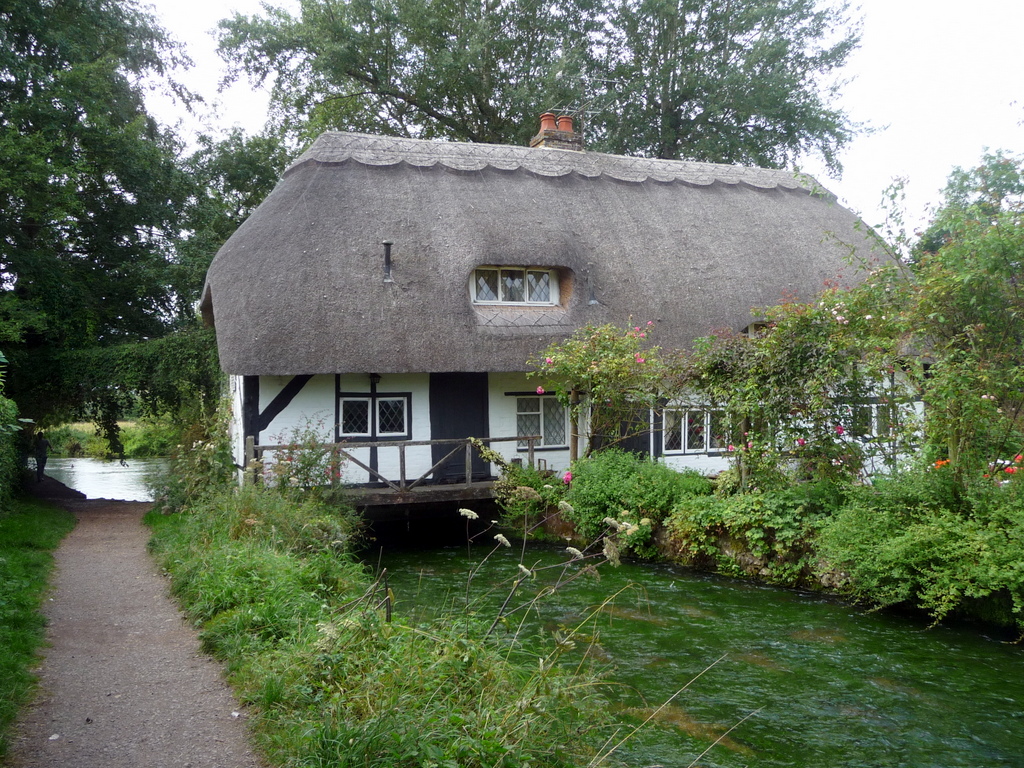 MillMill, fulling · 1639 yd
 Michael Collins BirthplaceHistoric birthplace · 1.6 mi
 Jeremiah O'Donovan RossaMemorial · 1.9 mi
 Clasharusheen Mansion (Site of)Castle, unclassified · 1.9 mi
 Michael Collins MemorialMemorial · 2.0 mi
 Castle SalemCastle · 3.0 mi
 CarrigfaddaMountain / peak · 3.6 mi
 Castle Freke WoodsForest · 4.2 mi
 Chilean myrtleChilean myrtle · 4.3 mi