What is recorded here
Castleventry holds a double-ringed earthwork where a church and graveyard still occupy the centre. The outer bank drops away at a southern gap, exposing the buried passages beneath. What happened inside those holes remains unknown, but the shape suggests people went down deliberately and returned changed.
In pasture, atop knoll on E-facing slope. Circular, slightly raised area (32.6m N-S; 34.5m E-W) enclosed by two earthen banks, stone faced in parts, with intervening fosse. Break in inner bank to W, now blocked up; modern steps to E. Outer bank broken to W (Wth 3.5m), blocked up; S gap leads to laneway; modern break to NNW. Church (CO134-025004-), graveyard (CO134-025003-) and Man-made underground passage (CO134-025002-) in interior; second Man-made underground passage (CO134-089---) beside outer bank to E.
The above description is derived from the published 'Archaeological Inventory of County Cork. Volume 1: West Cork' (Dublin: Stationery Office, 1992). In certain instances the entries have been revised and updated in the light of recent research.
Date of upload/revision: 14 January 2009
The monument record does not grant public access. Check the route and ask the landowner before entering private land.
- What survives
- Recorded monument
Places near here
 Castleventry Church (in Ruins)Church · 9 yd
 Trinity WellHoly well · 93 yd
 Man-made underground passage in CastleventryMan-made underground passage · 858 yd
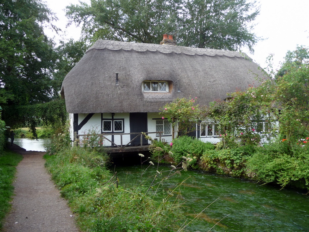 MillMill, fulling · 1.0 mi
 Michael Collins BirthplaceHistoric birthplace · 1.7 mi
 Jeremiah O'Donovan RossaMemorial · 1.8 mi
 Clasharusheen Mansion (Site of)Castle, unclassified · 2.1 mi
 Michael Collins MemorialMemorial · 2.1 mi
 Castle SalemCastle · 2.9 mi
 CarrigfaddaMountain / peak · 3.5 mi
 Castle Freke WoodsForest · 4.2 mi
 Chilean myrtleChilean myrtle · 4.3 mi