What is recorded here
Fairy fort in Cashel More: a 42m earthen ring on a north-facing slope below the hilltop, with a smaller inner circle and a possible hut trace. People may have lived there, marked territory or simply shaped the land for shelter. The exact purpose has faded, but the double circle still holds the shape of a household, a boundary or a small defied world.
In pasture, below hilltop on N-facing slope. Circular area (42m N-S; 42m E-W) enclosed by earthen bank (H 1.3m), stone faced in parts. Low rise (H 0.5m), concentric with and 10m inside bank, encloses area with diam. of 20m. Possible hut site atop inner enclosure to NE (diam. 2.4m); depression inside enclosure to SW may be result of quarrying.
The above description is derived from the published 'Archaeological Inventory of County Cork. Volume 1: West Cork' (Dublin: Stationery Office, 1992). In certain instances the entries have been revised and updated in the light of recent research.
Date of upload/revision: 14 January 2009
The monument record does not grant public access. Check the route and ask the landowner before entering private land.
- What survives
- Recorded monument
Places near here
 IndicatedQuarry · 425 yd
 Burnt mound in Cashel MoreBurnt mound · 865 yd
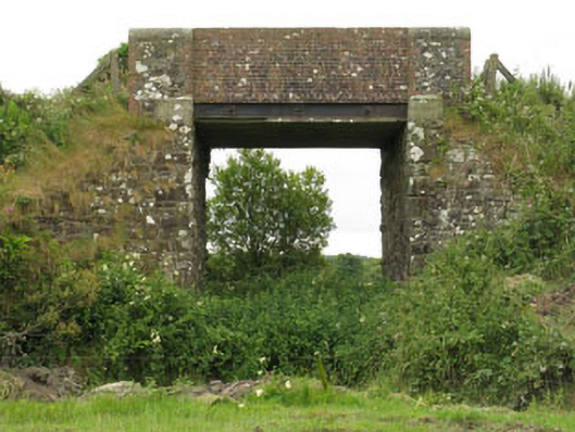 bridgebridge · 963 yd
 Fulacht fia in Cashel MoreFulacht fia · 1205 yd
 Tobar MacloonaboySpring · 1.4 mi
 Monteen Castle (in Ruins)Castle, tower house · 2.5 mi
 English hollyEnglish holly · 2.7 mi
 Graveyard in KilmalodaGraveyard · 2.8 mi
 Cottage Road WoodWood · 3.2 mi
 Castle DerryCastle · 3.8 mi
 Argideen Valley trailVisitor information · 4.1 mi
 Johnny Sheila MurphyMemorial · 4.1 mi