What is recorded here
Half-hidden in pasture on a steep west-facing slope, the ringfort at Cashel Beg keeps its shape through grass and fence line. Its stone-faced bank still stands one and a half metres high on part of the circle, while the rest has flattened into a low ridge with a shallow ditch outside. Cattle walk past it as if it were only another fold in the field, but the boundary is still clear enough to mark a small house, a yard, or a hidden life from ages before the farm road.
In pasture, on steep W-facing slope. Circular area (28.6m N-S; 30.5m E-W) enclosed by stone-faced earthen bank (H 1.4m) SSW->NW; levelled bank survives as low rise NW->SSW (H 0.2m) with shallow external fosse. Bank incorporated into field fence system SSW->NW.
The above description is derived from the published 'Archaeological Inventory of County Cork. Volume 1: West Cork' (Dublin: Stationery Office, 1992). In certain instances the entries have been revised and updated in the light of recent research.
Date of upload/revision: 14 January 2009
The monument record does not grant public access. Check the route and ask the landowner before entering private land.
- What survives
- Recorded monument
Places near here
 Fulacht fia in Cashel MoreFulacht fia · 825 yd
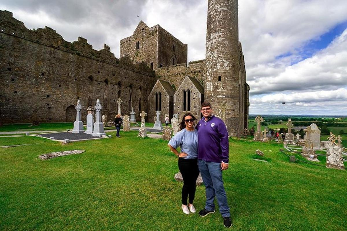 Burnt mound in Cashel MoreBurnt mound · 1143 yd
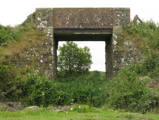 bridgebridge · 1.1 mi
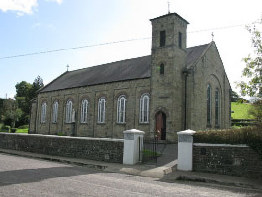 Lady Chapel Roman Catholic Churchchurch/chapel · 1.2 mi
 Tobar MacloonaboySpring · 1.2 mi
 Cottage Road WoodWood · 2.8 mi
 Monteen Castle (in Ruins)Castle, tower house · 3.2 mi
 English hollyEnglish holly · 3.4 mi
 Graveyard in KilmalodaGraveyard · 3.5 mi
 Castle DerryCastle · 3.9 mi
 Argideen Valley trailVisitor information · 4.6 mi
 Johnny Sheila MurphyMemorial · 4.7 mi