What is recorded here
Carrowtober West holds a broken fairy fort where a field bank now cuts through ancient earth. The remaining scarp curves twenty-six metres across a grassy slope, preserving only a fragment of the circle once built there. People may have lived inside the lost ring before roads and farms crossed it, but the earth has taken most of that life back.
On a NW-facing slope in grassland. Poorly preserved circular rath (D 26m) defined by a scarp from SW through N to SE. No visible surface trace survives elsewhere. A field bank cuts the monument at S and a road runs E-W to N of it.
The above description is derived from the published 'Archaeological Inventory of County Galway Vol. II - North Galway'. Compiled by Olive Alcock, Kathy de hÓra and Paul Gosling (Dublin: Stationery Office, 1999).
Date of upload: 05 August 2010
The monument record does not grant public access. Check the route and ask the landowner before entering private land.
- What survives
- Recorded monument
Places near here
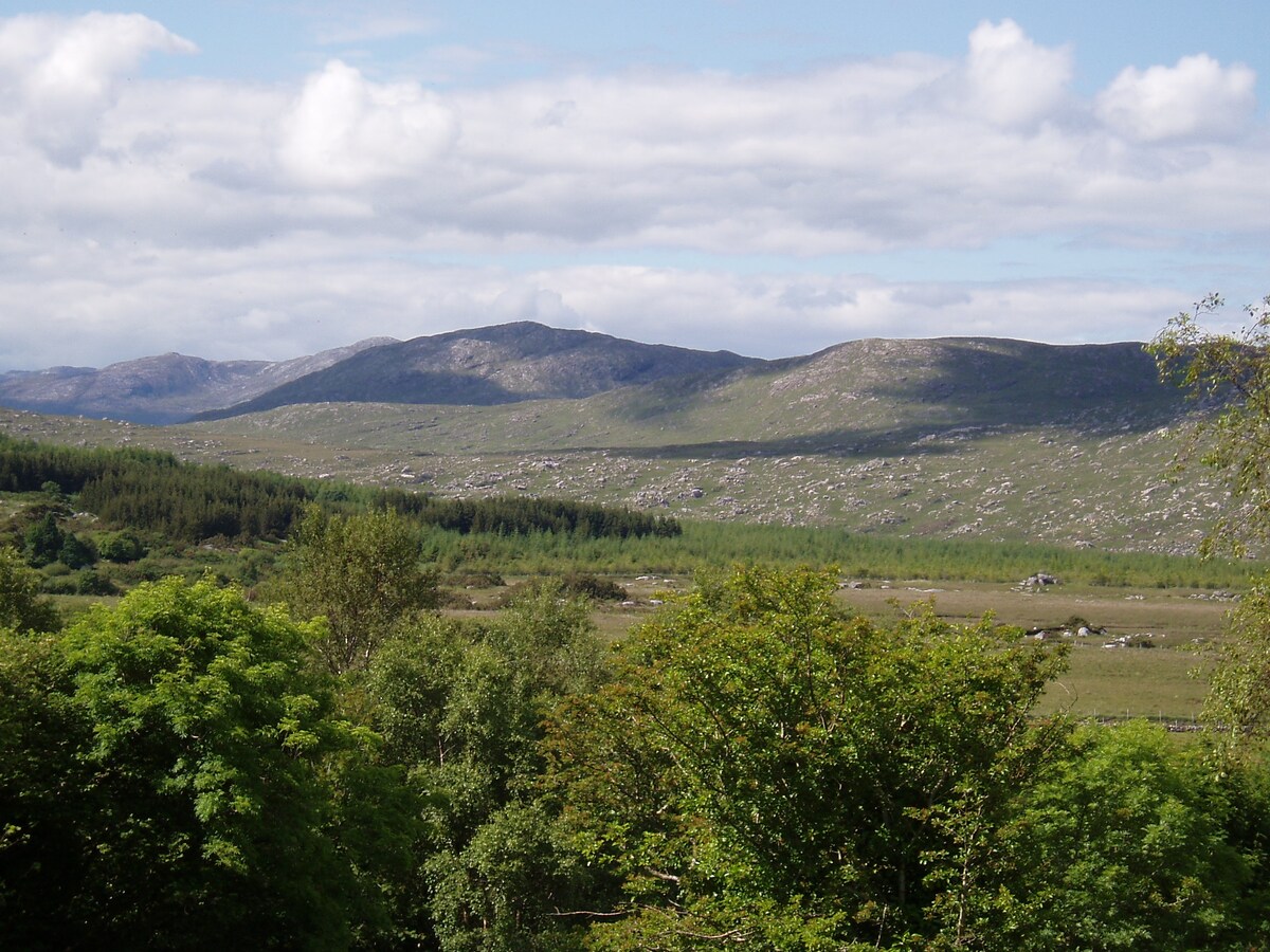 LissardFairy fort / earthen ringfort · 1314 yd
 St. Bridgids WellHoly well · 1344 yd
 Kiltullagh Church (in ruins)Church · 1388 yd
 St. Francis MonasteryReligious house, unclassified · 1654 yd
 Bawn in Kiltullagh (tiaquin By.)Bawn · 1.0 mi
 Park CastleCastle · 2.2 mi
 Ballinlass Eviction MemorialMemorial · 6.5 mi
 Wych ElmWych Elm · 6.9 mi
 Mount MaryMountain / peak · 6.9 mi
 Cloonavihony WoodForest · 7.1 mi
 Site of Killomaine Grave YardArchaeological place · 7.3 mi
 Sally IslandIslet · 9.6 mi