What is recorded here
No visible entrance or surrounding ditch survives on the ENE-facing slope, leaving a shallow pear-shaped hollow where the ground still tilts downward toward the east. The low earthen bank has lost part of its southeast curve to a modern road, yet it still marks a deliberate boundary in open pasture. The missing entrance and broken curve suggest a place once entered, used and changed before memory faded.
On an ENE-facing slope in pasture. A pear-shaped area (36.2m NW-SE; 30.5m NE-SW) enclosed by a low bank of earth and stone (Wth 4.2m; H 0.1-1.2m), which barely rises above the interior for most of its circuit. There is no trace of a fosse and the original entrance is not recognisable. A portion of the SE quadrant has been destroyed due to the construction of a modern NE-SW roadway. The internal ground level falls appreciably from WSW to ESE.
Compiled by: Patrick F. O'Donovan
Date of upload: 26 August 2011
This remains an important historical record, but the official description says the monument is no longer visible or has been destroyed. The monument record does not grant public access. Check the route and ask the landowner before entering private land.
- What survives
- No visible remains or recorded as destroyed
Places near here
 IndicatedFairy fort / earthen ringfort · 479 yd
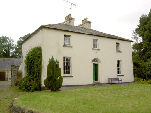 Rathcline Glebe Houserectory/glebe/vicarage/curate's house · 940 yd
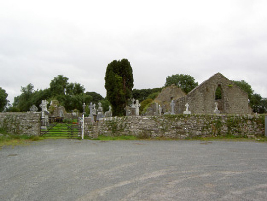 church/chapelchurch/chapel · 1291 yd
 Cross in Glebe (rathcline By., Rathcline Ed)Cross · 1298 yd
 Rathcline CastleBawn · 1759 yd
 White Sand WoodWood · 1.3 mi
 Goat's IslandIslet · 1.6 mi
 Bushy IslandIslet · 1.8 mi
 Wild birdsVisitor information · 1.9 mi
 Commons North WalkVisitor information · 2.2 mi
 Caltragh CastleCastle, unclassified · 3.3 mi
 Cruit BayBay · 4.2 mi