What is recorded here
Fairy fort / earthen ringfort in Carrowroe: A raised oval area (37.5m N-S; 32.6m E-W) enclosed by a low bank of earth and stone (Wth 4.7m; H 0.2-0.5m). A report in 1975 (SMR file) recorded an external fosse, which is no longer identifiable. From NW-N-NNE, at the external base of the bank, there is a modern ENE-WSW field wall and a farm building. The original entrance is not recognisable. Immediately inside a modern entrance at E is a quarry hole.
On a S-facing slope in pasture. A raised oval area (37.5m N-S; 32.6m E-W) enclosed by a low bank of earth and stone (Wth 4.7m; H 0.2-0.5m). A report in 1975 (SMR file) recorded an external fosse, which is no longer identifiable. From NW-N-NNE, at the external base of the bank, there is a modern ENE-WSW field wall and a farm building. The original entrance is not recognisable. Immediately inside a modern entrance at E is a quarry hole.
Compiled by: Patrick F. O'Donovan
Date of upload: 28 November 2011
The monument record does not grant public access. Check the route and ask the landowner before entering private land.
- What survives
- Recorded monument
Places near here
 IndicatedFairy fort / earthen ringfort · 930 yd
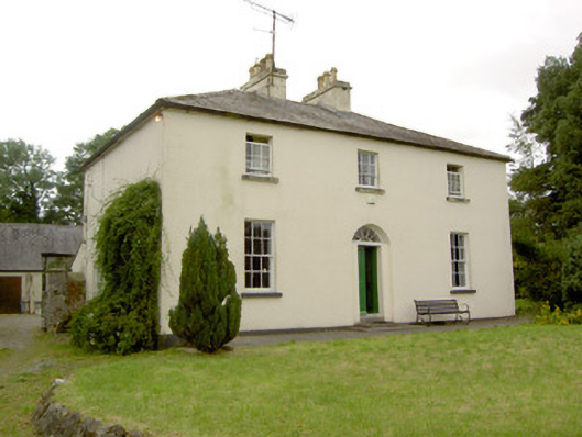 Rathcline Glebe Houserectory/glebe/vicarage/curate's house · 988 yd
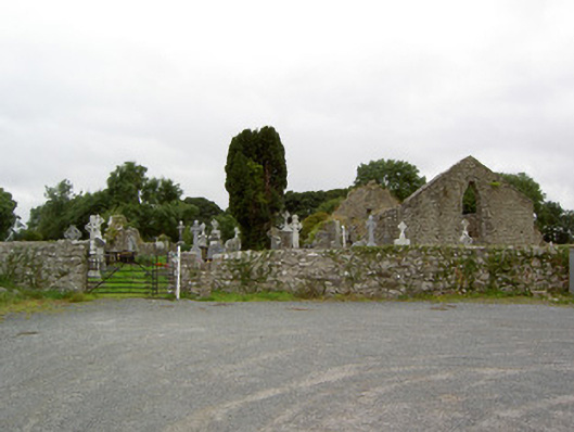 church/chapelchurch/chapel · 1239 yd
 Cross in Glebe (rathcline By., Rathcline Ed)Cross · 1240 yd
 Rathcline CastleBawn · 1.1 mi
 Goat's IslandIslet · 1.3 mi
 White Sand WoodWood · 1.5 mi
 Bushy IslandIslet · 1.5 mi
 Wild birdsVisitor information · 2.1 mi
 Commons North WalkVisitor information · 2.4 mi
 Caltragh CastleCastle, unclassified · 3.3 mi
 Cruit BayBay · 3.9 mi