What is recorded here
Marianne and the children stood beside the low rise in Carrowroe pasture, pointing at invisible walls while Sebastian mapped the forgotten fort. He wondered whether love could make dead stone visible or whether certainty could kill the shape of wonder.
On the E slope of a low rise in pasture. Depicted as a circular enclosure with the designation 'Fort' on the 1837 ed. of the OS 6-inch map. The monument is not visible at ground level.
Compiled by: Patrick F. O'Donovan
Date of upload: 26 August 2011
The monument record does not grant public access. Check the route and ask the landowner before entering private land.
- What survives
- Recorded monument
Places near here
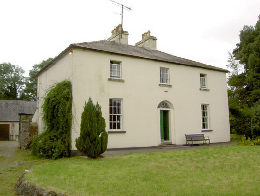 Rathcline Glebe Houserectory/glebe/vicarage/curate's house · 339 yd
 IndicatedFairy fort / earthen ringfort · 452 yd
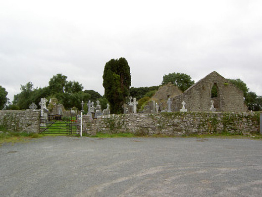 church/chapelchurch/chapel · 693 yd
 Cross in Glebe (rathcline By., Rathcline Ed)Cross · 701 yd
 Rathcline CastleBawn · 1241 yd
 White Sand WoodWood · 1.1 mi
 Goat's IslandIslet · 1.5 mi
 Ballyclare IslandIslet · 1.6 mi
 Wild birdsVisitor information · 1.7 mi
 Commons North WalkVisitor information · 2.0 mi
 Caltragh CastleCastle, unclassified · 3.6 mi
 Cruit BayBay · 4.2 mi