What is recorded here
Carrowrevagh holds a thirty-three-metre stone-faced circle where a house now eats the missing wall, proving that ownership often arrives through forgetting rather than conquest. McCaffrey identified an underground passage inside the broken ring, suggesting the site hid more than it revealed to casual walkers. The rectangular structure abutting the northeast bank may have been an old house, yet its true relationship to the fort remains unclear beneath the grass.
On a rise in gently undulating grassland. Very poorly preserved circular rath (diam. 33m) defined by a bank which survives from W to NNW and from N to ENE. No visible surface trace survives elsewhere as a house and associated buildings encroach upon it. McCaffrey (1952, 167, no. 16) noted that the enclosing element was stone-faced and that there was a Man-made underground passage (GA097-074001-) in the interior. A rectangular structure (L 8.8m; Wth 7.7m), aligned N-S, defined by a bank of earth and stone abuts the bank at NE; traces of a shallow fosse are evident along its N and E sides externally and along the W wall internally. Its relationship with the rath is unclear; it may be an old house site.
Compiled by: Galway Archaeological Survey, UCG
Date of upload: 15 September 2017
The monument record does not grant public access. Check the route and ask the landowner before entering private land.
- What survives
- Recorded monument
Places near here
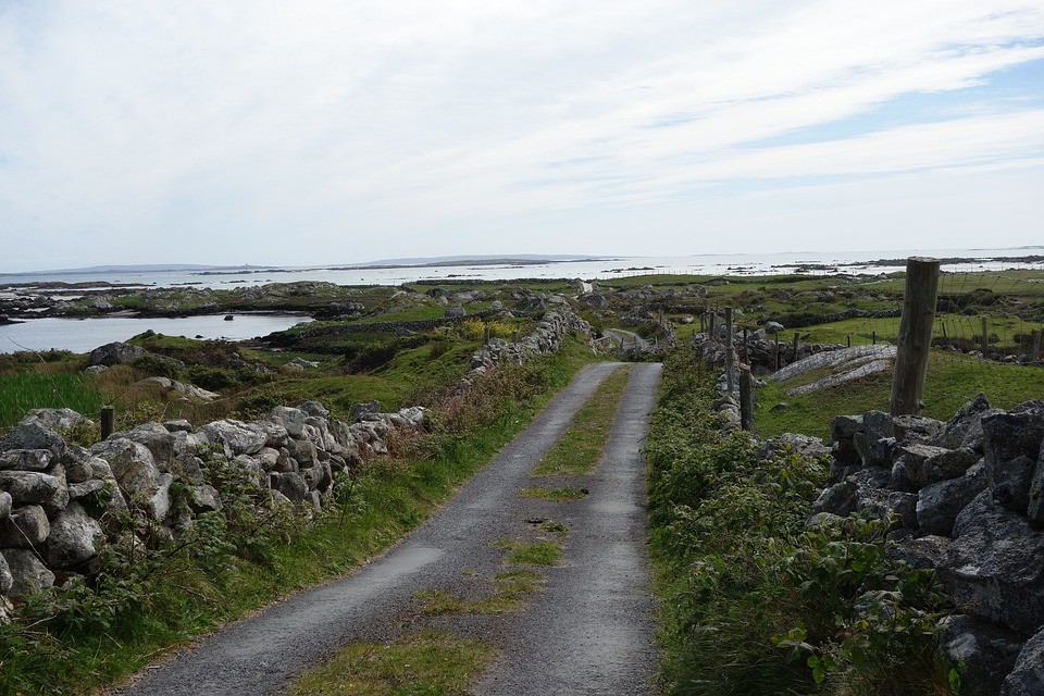 IndicatedFairy fort / stone ringfort · 532 yd
 Church (in Ruins)Church · 784 yd
 Castle (in ruins)Castle, tower house · 831 yd
 Dunsandlegate lodge · 1008 yd
 Badhbunmore Castle (in ruins)Castle, unclassified · 1641 yd
 Man-made underground passage in Carrowroe North (athenry By.)Man-made underground passage · 1.1 mi
 Moyard WoodWood · 2.5 mi
 Turoe StoneHeritage attraction · 3.7 mi
 Blake's IslandIslet · 4.7 mi
 Barrack IslandIslet · 4.9 mi
 Athenry AbbeyHeritage attraction · 5.0 mi
 Horse-chestnutHorse-chestnut · 5.4 mi