What is recorded here
Carrowreagh West holds a rounded earthen fort, local memory calling it a fairy fort, though human hands likely built the ring. Clay and stone may have resisted rain for centuries before people stopped measuring the land with tools and started measuring it with myths. The boundary between record and legend blunts at that moment, a ordinary defense becoming a fantasy landscape.
The Archaeological Survey of Ireland (ASI) is in the process of providing information on all monuments on The Historic Environment Viewer (HEV). Currently the information for this record has not been uploaded. To access available information for research purposes please make an appointment in advance with the Archive Unit (open Fridays 10.00 am – 5.00 pm), Department of Housing, Local Government and Heritage, The Custom House, Dublin 1 D01W6XO or email NMarchive@housing.gov.ie.
The monument record does not grant public access. Check the route and ask the landowner before entering private land.
- What survives
- Recorded monument
Places near here
 Enclosure in KnockaloughEnclosure · 1.4 mi
 Enclosure in Cross MoreEnclosure · 1.5 mi
 Knockalough Castle (in Ruins)Castle, unclassified · 1.9 mi
 Clonderalaw Castle (in Ruins)Castle, unclassified · 3.0 mi
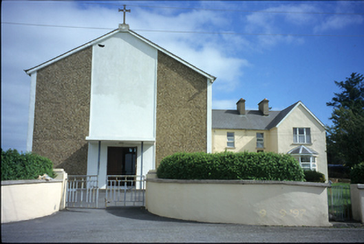 Saint Benedict's Catholic Churchchurch/chapel · 3.2 mi
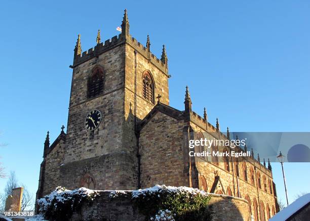 St Michaels Church (in Ruins)Church · 3.4 mi
 Crag WoodWood · 4.5 mi
 Labasheeda QuayVisitor information · 4.6 mi
 Boatman's PointHeadland · 4.8 mi
 Labasheeda PointHeadland · 4.8 mi
 Mountshannon EstateHeritage attraction · 4.9 mi
 St Senan's WellSpring · 7.4 mi