What is recorded here
Fairy fort / earthen ringfort in Carrownree (tireragh By.) is a fairy fort or earthen ringfort in Carrownree (tireragh By.), County Sligo, Ireland. The 1837 Ordnance Survey map showed a circular area divided by a north-south field boundary, but the eastern portion has since been levelled. The remaining D-shaped site measures 18 metres north-south and 13.5 metres east-west, bounded by a low earthen bank 6.4 metres wide and 0.2 metres high. No ditch or entrance is visible on the slight west-facing slope today.
Situated on a slight W-facing slope in gently undulating pasture. Depicted on the 1837 edition of the OS 6-inch map as a circular area divided into equal portions by a N-S field boundary. The portion of the site which lay to the E of the field boundary has been levelled and there are no remains of it now visible at ground level. Remains comprise a D-shaped slightly raised area (dims. 18m N-S; 13.5m E-W) whose straight side is defined by the remains of the field boundary and the curvilinear portion by a wide, low earthen bank (Wth 6.4m; int. H 0.2m). There is no fosse visible at ground level. The original entrance is not recognisable.
Compiled by: Mark Keegan
Date of upload: 19 January 2011
The monument record does not grant public access. Check the route and ask the landowner before entering private land.
- What survives
- Recorded monument
Places near here
 CaveMan-made underground passage · 327 yd
 Enclosure in ArdabroneEnclosure · 755 yd
 CastleCastle, Anglo-Norman masonry castle · 859 yd
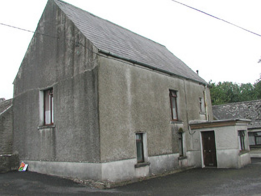 Stand Househouse · 1025 yd
 Saint Adamnan's Catholic Churchchurch/chapel · 1273 yd
 Bawn in CarrowbrickeenBawn · 1.4 mi
 Dunmoran StrandBeach / strand · 1.6 mi
 Derkmore PointHeadland · 2.1 mi
 Giant's GraveArchaeological place · 2.3 mi
 Aughris BeachBeach / strand · 2.5 mi
 Lahanacappul IslandIslet · 2.7 mi
 Portavaud PointHeadland · 2.8 mi