What is recorded here
Fairy fort / earthen ringfort in Carrowgavneen is a fairy fort or earthen ringfort in Carrowgavneen, County Sligo, Ireland. It occupies a break of slope on the southeast side of a ridge where the ground falls steeply to the south and east. Two earthen banks surround a central ditch, creating a circular enclosure roughly thirty metres across. Hawthorn bushes now cover parts of the ditch and outer bank, while a field boundary wall rests against the external face in several places.
In pasture, at a break of slope on the SE side of a ridge; the ground falls away steeply to the S and E but rises gently to the NW and W. A raised circular area (30.1m N-S; 32.6m E-W) defined by two banks and an intervening fosse. The inner bank (Wth 6.5m; int. H 0.9m; ext. H 3.1m) is best preserved SSW-NE; it is low or levelled elsewhere. There is a gap (Wth 3m) at SE. The intervening fosse (Wth 5m) is evident SSW-NE. The outer bank (Wth c. 3.5m; int. H 1.5m; ext. H 1m) is evident SW-NE; a field boundary wall is built on top of the bank in places and elsewhere built against the external face of the bank. The outer bank E-SE is possibly truncated by a field boundary. The fosse and parts of the outer bank are partially overgrown with hawthorn bushes. The interior slopes down gently to SSE. There is a possible Man-made underground passage (SL025-01201-) in the centre of the W half. A semicircular hollow (c. 3m x 2m) is visible immediately inside the gap at SE. There is a house immediately S of the rath.
The above description is derived from the published 'Archaeological Inventory of County Sligo' compiled by Ursula Egan, Elizabeth Byrne, Mary Sleeman with Sheila Ronan and Connie Murphy (Dublin Stationery Office, 2005).
Date of upload: 18 January 2008
The monument record does not grant public access. Check the route and ask the landowner before entering private land.
- What survives
- Recorded monument
Places near here
 Man-made underground passage in CarrowgavneenMan-made underground passage · 12 yd
 Hut site in CarrowgavneenHut site · 397 yd
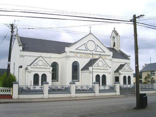 Catholic Church of the Sacred Heart and Saint Josephchurch/chapel · 1144 yd
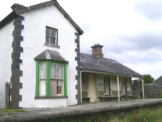 Leyny Railway Stationrailway station · 1.2 mi
 DoomoreMountain / peak · 2.1 mi
 Tullaghan HillMountain / peak · 2.2 mi
 Moymlough Castle (in Ruins)Castle, tower house · 2.8 mi
 Valley WoodForest · 3.3 mi
 RinnatalleenHeadland · 3.9 mi
 Derinch PointHeadland · 4.0 mi
 European ashEuropean ash · 4.0 mi
 Bawn in Tanrego WestBawn · 4.1 mi