What is recorded here
Leckemy, meaning a fairy fort, is a ringfort in County Donegal. It has a thirty metre diameter and sits on a rocky ridge west of Crocknamerragh. A cliff, steep slope and rock outcrop form most of its boundary, while a low bank closes the north side. A small rectangular outline marks the centre. People may have lived there, feared it or simply named it for the fairies they believed occupied it. The rock and ridge still hold the shape of that old choice.
Internal diam. c. 30m. Marked 'Lisnalecky' on the 2nd and 3rd editions of the OS 6-inch maps the site now consists of a subcircular platform, defined on all but the N side, by natural features: a cliff-face on the E; a natural sheer slope on the W; a natural rock outcrop on the S. The N side is delimited by a low bank. There is a small rectangular outline at the centre, which measures 1.7m N-S, 1.4m E-W. It is situated on the W side of Crocknamerragh, in rough rocky mountain terrain on a ridge running E-W.
The above description was derived from the 'Archaeological Survey of County Donegal. A description of the field antiquities of the County from the Mesolithic Period to the 17th century.' Compiled by: Brian Lacey with Eamon Cody, Claire Cotter, Judy Cuppage, Noel Dunne, Vincent Hurley, Celie O'Rahilly, Paul Walsh and Seán Ó Nualláin (Lifford: Donegal County Council, 1983). In certain instances the entries have been revised and updated.
Date of upload: 22 September 2008
The monument record does not grant public access. Check the route and ask the landowner before entering private land.
- What survives
- Recorded monument
Places near here
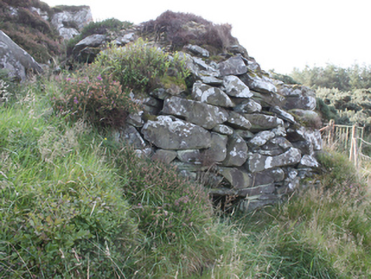 sweat housesweat house · 37 yd
 Sweathouse in Carrowblagh OR LeckemySweathouse · 103 yd
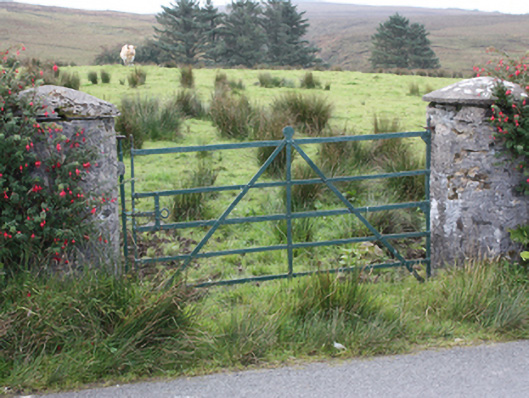 gates/railings/wallsgates/railings/walls · 618 yd
 Penitential StationCross · 1506 yd
 Tremone BayBeach / strand · 2.1 mi
 CrockaulinMountain / peak · 2.6 mi
 The Spanish Armada 1588Memorial · 2.7 mi
 CrockavishaneMountain / peak · 3.1 mi
 Cooley CrossMemorial · 3.6 mi
 Inishowen Maritime Museum and PlanetariumMuseum · 4.4 mi
 CuldaffOfficial bathing water · 4.6 mi
 GreencastleCastle · 4.6 mi