What is recorded here
On a steep NE-facing slope in upland pasture, monument under grass and partially truncated by road which runs NE-SW along NW quadrant. Roughly circular area (diam. 60m N-S; 63m E-W) defined by an earthen bank (Wth 2-2.4m crest, 4.3-5.6m base; H above int. 0.78-0.92m; H above ext. 1.95m - measurements in NE and SSE sectors respectively); U-shaped fosse on visible on S side (Wth 1.7m; D 0.86m). Bank has a rounded profile but has been denuded in places to form a flat-topped bank. Bank from NW-N-E-SE is overgrown in places with brambles. Trees growing on top of bank. Gap in E quadrant (Wth 3.3m) used as tractor access, probably the original entrance. There are tractor furrows across the interior and hay has been deposited on the opposite W bank. Gap (Wth 2.2m) broken through bank in S quadrant. Field boundary runs approx. E-W up to 5m from the E bank, then turns S along an N-S axis. Some young conifers (H 0.8m) have been planted on NE bank. Bank drops steeply to exterior, it is composed of clay with some stones. Some field clearance has been dumped into the fosse.
Compiled by: Jean Farrelly
Date of upload: 26 August 2011
The monument record does not grant public access. Check the route and ask the landowner before entering private land.
- What survives
- Recorded monument
Places near here
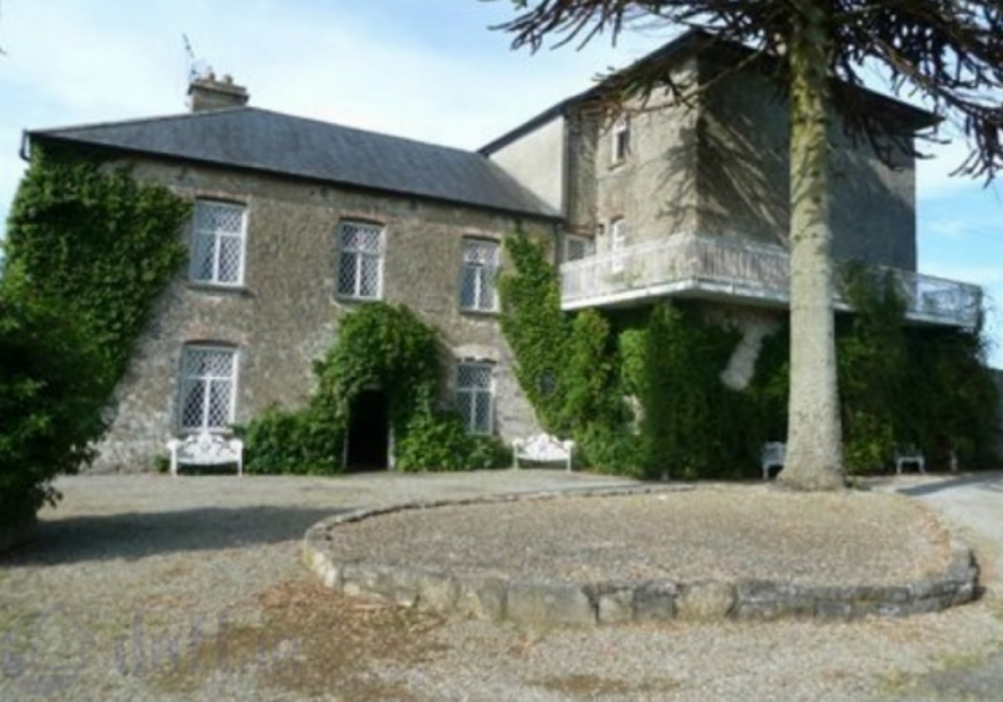 Enclosure in KnockrathkellyEnclosure · 281 yd
 Enclosure in MayladstownEnclosure · 628 yd
 Carrigaloe RockNamed rock · 734 yd
 Kilcash WoodForest · 1656 yd
 Bawn in KilcashBawn · 1755 yd
 Saint John's Catholic Churchchurch/chapel · 1.1 mi
 Kilcash Castle (in ruins)Castle, tower house · 1.2 mi
 Kilcash Church (in ruins)Church · 1.2 mi
 Wild CherryWild Cherry · 1.9 mi
 SheegounaMountain / peak · 2.0 mi
 SlievenamonMountain / peak · 2.0 mi
 Thomas KielyMemorial · 3.4 mi