What is recorded here
Situated on the S-facing slope of a low hillock in undulating countryside. A raised circular area (diam. 27m N-S) enclosed by an earth and stone bank (Wth 2m; int. H 0.3m; ext. H 1-2m) and outer fosse (Wth 3-5m; D 0.5m). The interior is heavily overgrown and it is impossible to examine the site fully. There is some evidence of partial quarrying.
The above description is derived from 'The Archaeological Inventory of County Tipperary. Vol. 1 - North Tipperary' compiled by Jean Farrelly and Caimin O'Brien (Dublin: Stationery Office, 2002). In certain instances the entries have been revised and updated in the light of recent research.
Date of upload/revision: 22 September 2008
The monument record does not grant public access. Check the route and ask the landowner before entering private land.
- What survives
- Recorded monument
Places near here
 Enclosure in TinvoherEnclosure · 878 yd
 CastleCastle, ringwork · 1347 yd
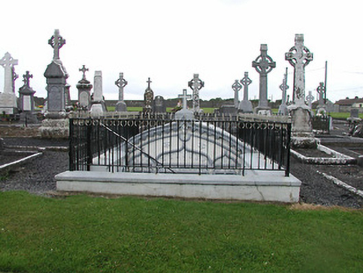 Catholic Church of the Nativity of Our Ladymausoleum · 1441 yd
 Church (in Ruins), Grave Yd.Church · 1504 yd
 Loughmoe CourtHouse, fortified house · 1.0 mi
 Enclosure in KilvilcorrisEnclosure · 1.5 mi
 Kilvilcorris BogForest · 2.4 mi
 Morris's GroveForest · 2.7 mi
 Pheasant IslandHeritage attraction · 5.1 mi
 Famine & War MuseumMuseum · 5.1 mi
 Pallas HillMountain / peak · 5.5 mi
 Devil's Bit MountainMountain / peak · 5.6 mi