What is recorded here
Fairy fort in Carrickfad is a D-shaped earthen ring, 34 metres long, built into the steep NW end of a flat-topped spur in County Leitrim. Its eastern bank still stands 0.8 metres high and 3.1 metres wide, while the eastern edge melts into a scarp and the northern side leans against a severe slope. People may have lived there before abandoning it to legend, but the shape remains clear enough to walk around and imagine the loss.
Situated at the NW end of a flat-topped SE-NW spur. Overgrown D-shaped area (dim 34m NW-SE) defined by an earthen bank (Wth 3.1m; H 0.8m) at E, which is reduced to a steep scarp elsewhere. The straight side is at NE (upslope) where the slope is very severe.
The above description is derived from 'The Archaeological Inventory of County Leitrim' compiled by Michael J. Moore (Dublin: Stationery Office, 2003). In certain instances the entries have been revised and updated in the light of recent research.
Date of upload: 23 September 2008
The monument record does not grant public access. Check the route and ask the landowner before entering private land.
- What survives
- Recorded monument
Places near here
 Man-made underground passage in BallynamonaMan-made underground passage · 773 yd
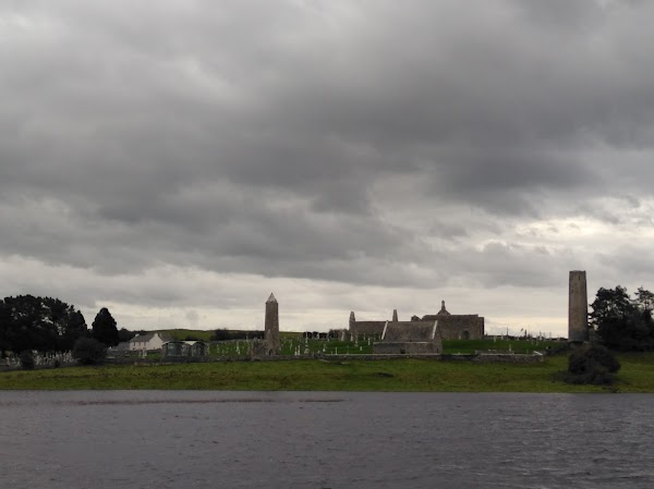 Enclosure in CarrickanurrooEnclosure · 1335 yd
 CastleCastle, tower house · 1.1 mi
 Parke's CastleHeritage attraction · 1.1 mi
 Keelogyboy Mtn SW TopMountain / peak · 1.3 mi
 Keelogyboy MountainMountain / peak · 1.4 mi
 Court Tomb TrailWalking route · 1.4 mi
 Toberconnell BayBay · 1.9 mi
 Chapel (in Ruins)Church · 2.0 mi
 St. Connells IslandIslet · 2.1 mi
 Church (in Ruins), Cloghermore grave Yd.Church · 2.1 mi
 Comorant RockIslet · 2.3 mi