What is recorded here
Dark conifers have taken the ringfort in Carhoovauler, smothering the earthen bank and hiding the three ogham stones beneath the north-west soil. The fairies probably moved in after the people left, claiming the dark passage and the buried markers as their own. What humans built for memory, the forest redacted into mystery.
In pasture, on SW-facing slope. Circular raised area (28m N-S; 26m E-W) enclosed by earthen bank (int. H 0.75m; ext. H 2.3m), with fosse (D 1.42m) NNE->S. Break (Wth 3.8m) in bank to SSE. Interior and bank planted with conifers. Man-made underground passage (CO122-001002-) in NW quadrant contained three ogham stones (CO122-001003-; CO122-001004-; CO122-001005-).
The above description is derived from the published 'Archaeological Inventory of County Cork. Volume 1: West Cork' (Dublin: Stationery Office, 1992). In certain instances the entries have been revised and updated in the light of recent research.
Date of upload/revision: 14 January 2009
The monument record does not grant public access. Check the route and ask the landowner before entering private land.
- What survives
- Recorded monument
Places near here
 Man-made underground passage in CarhoovaulerMan-made underground passage · 1 yd
 Enclosure in CarhoovaulerEnclosure · 328 yd
 Corran HillMountain / peak · 1294 yd
 Church in Knocks (carbery East (e.d) By.)Church · 1.1 mi
 Fahanacowley Castle (Site of)Castle, unclassified · 1.2 mi
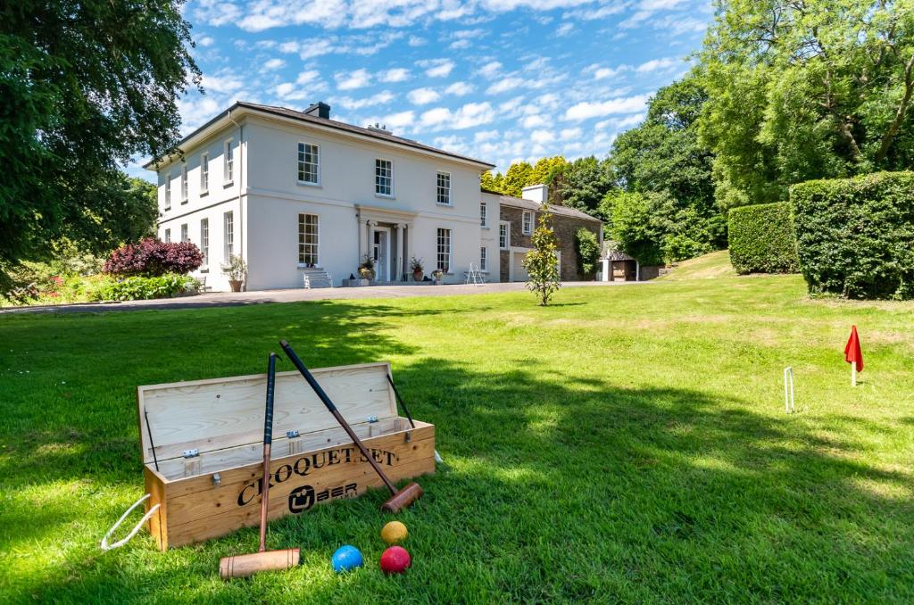 Country house in LiscubbaCountry house · 1.5 mi
 Ballinvard CastleCastle · 1.9 mi
 The GlenWood · 2.1 mi
 Irish National Forestry FoundationNature reserve · 3.1 mi
 Battle of the Big Cross (1798) Memorial MonumentMonument · 4.6 mi
 Castle RockNamed rock · 4.9 mi
 Clonakilty Blackpudding Visitor CentreHeritage attraction · 5.5 mi