What is recorded here
Cappanacloghy is an empty field now, but the surveyors marked a thirty-five-metre circle there in 1841. The land still carries the name rath field, preserving the shape of a fort that soil and time have erased. What remains is a ghost in the ground, waiting for rain or memory to draw its edges into view.
Situated in undulating countryside. Marked on the 1841 edition of the OS 6-inch map; a circular 'fort' (max. diam. c. 35m). Known locally as the 'rath field'. No visible surface remains.
The above description is derived from the published 'Archaeological Inventory of County Laois' (Dublin Stationery Office, 1995) compiled by P. David Sweetman, Olive Alcock and Bernie Moran. In certain instances the entries have been revised and updated in the light of recent research.
Date of upload: 17 December 2007
The monument record does not grant public access. Check the route and ask the landowner before entering private land.
- What survives
- Recorded monument
Places near here
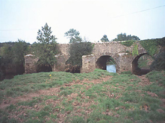 Poorman's Bridgebridge · 1156 yd
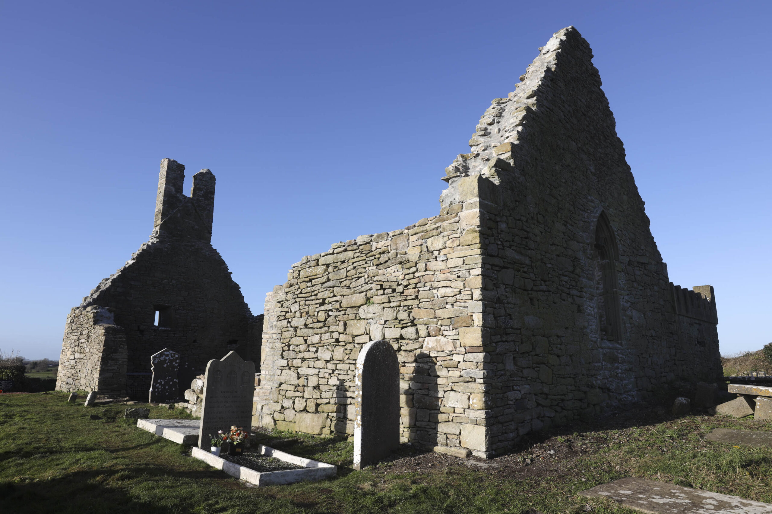 Church in Camcloon (upperwoods By.)Church · 1540 yd
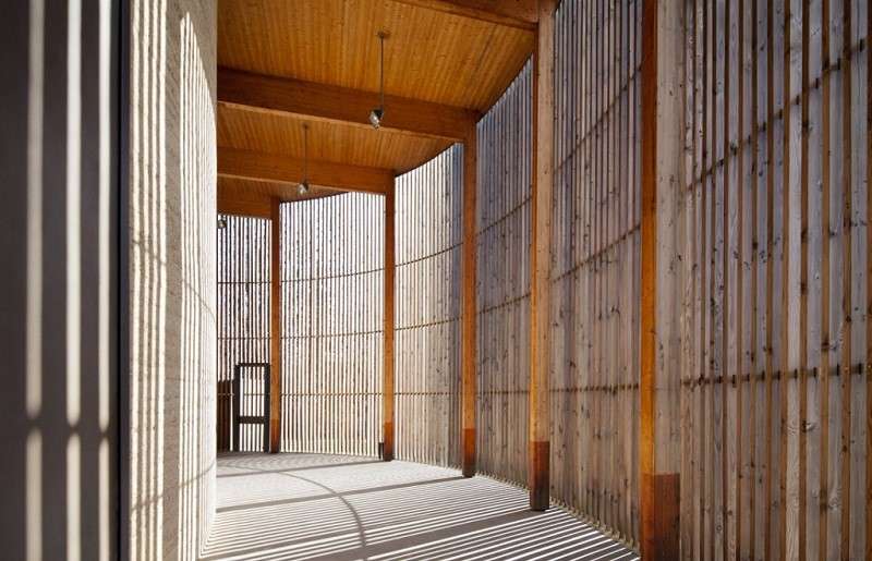 Ecclesiastical enclosure in DerrykearnEcclesiastical enclosure · 1602 yd
 Raheendonnell, HachuredFairy fort / earthen ringfort · 1697 yd
 Sweet ChestnutSweet Chestnut · 1.4 mi
 Killeany Castle (ruins)Castle · 1.8 mi
 Abbeyleix Heritage CentreMuseum · 2.4 mi
 Knocknamoe HouseMemorial · 2.5 mi
 Sitka SpruceSitka Spruce · 2.5 mi
 Scotch RathHouse, fortified house · 2.6 mi
 Heywood GardensHeritage attraction · 5.2 mi
 1798 MonumentMemorial · 5.5 mi