What is recorded here
Cappaknockane held a thirty-yard earthen ring on a hilltop, watching south and west until a landowner flattened it around 1985. The fort is gone, but the hill still points toward the horizon like a forgotten finger.
On top of a hill, in pasture, with extensive view to S and W. No visible surface trace survives. Ó Ríordáin (1932, 14) noted "partially levelled, single ramparted lios, 30 yards in diameter". Remains levelled by landowner c. 1985.
The above description is derived from the published 'Archaeological Inventory of County Cork. Volume 1: West Cork' (Dublin: Stationery Office, 1992). In certain instances the entries have been revised and updated in the light of recent research.
Date of upload/revision: 14 January 2009
The monument record does not grant public access. Check the route and ask the landowner before entering private land.
- What survives
- Recorded monument
Places near here
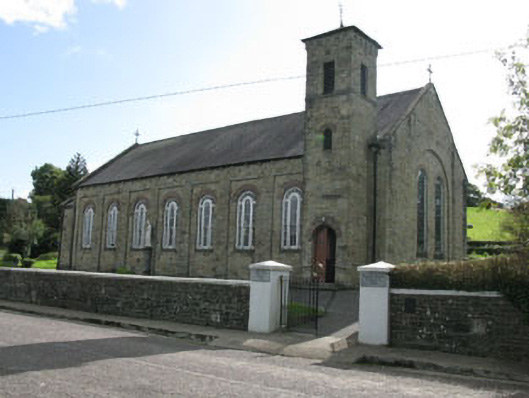 Lady Chapel Roman Catholic Churchchurch/chapel · 1260 yd
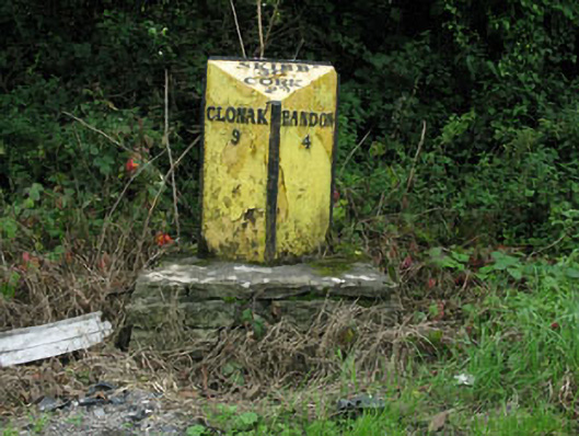 milestone/milepostmilestone/milepost · 1293 yd
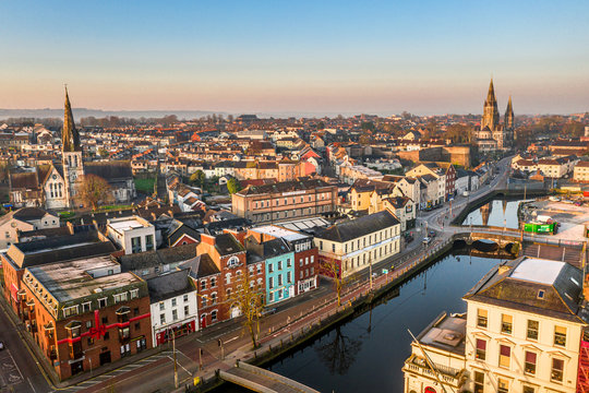 Fulacht fia in CappaknockaneFulacht fia · 1378 yd
 Holy well in Kilcolman (kinalmeaky By.)Holy well · 1488 yd
 Tobar MacloonaboySpring · 1.7 mi
 Cottage Road WoodWood · 2.3 mi
 Cathal Hurley MemorialMemorial · 3.8 mi
 Monteen Castle (in Ruins)Castle, tower house · 3.9 mi
 English hollyEnglish holly · 4.1 mi
 Graveyard in KilmalodaGraveyard · 4.1 mi
 Castle DerryCastle · 4.3 mi
 Carbury's WellSpring · 4.8 mi