What is recorded here
Fairy fort in Caltragh, County Galway, holds a hidden chamber beneath its worn banks, waiting for patience rather than force. The grassland swallows most of the ring, yet the southern edge still shows two earth ridges and a shallow ditch. People may have built the chamber to store bread, hide tools, or keep warmth during storms. The chamber remains closed to ordinary sight, but the land remembers the shape of hands that dug it.
On a hill in grassland. Poorly preserved circular rath (D 28m) defined by two banks (inner bank Wth 2.5m; int. H 0.2m; ext. H 0.35m; outer bank Wth 3m; int. H 0.6m) and an intervening fosse (Wth 1m) best preserved at S. Elsewhere the banks are barely discernible and the fosse is infilled. There is a Man-made underground passage (GA042-061001-) within the interior.
The above description is derived from the published 'Archaeological Inventory of County Galway Vol. II - North Galway'. Compiled by Olive Alcock, Kathy de hÓra and Paul Gosling (Dublin: Stationery Office, 1999). In certain instances the entries have been revised and updated in the light of recent research.
Updated by: Olive Alcock
Date of revised upload: 26 November 2018
This monument is subject to a preservation order made under the National Monuments Acts 1930 to 2014 (PO no. 206/1955).
The monument record does not grant public access. Check the route and ask the landowner before entering private land.
- What survives
- Recorded monument
Places near here
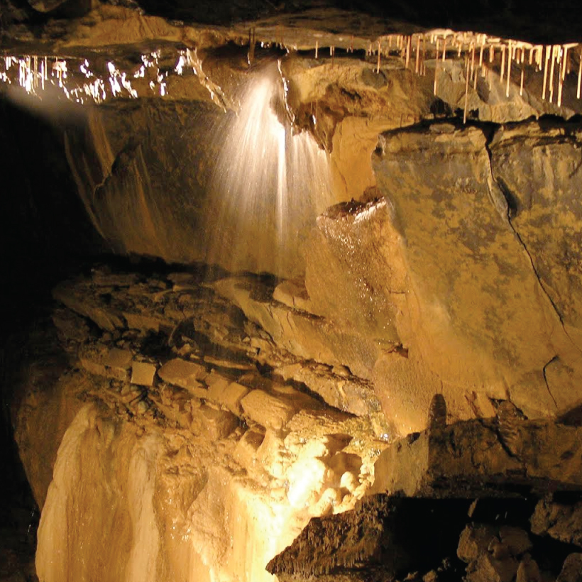 CaveMan-made underground passage · 666 yd
 Enclosure in Caltragh (killower Ed)Enclosure · 769 yd
 Designed landscapeDesigned landscape, summer house · 1674 yd
 KnockmaaWood · 1.1 mi
 Castle Hacket (in ruins)Castle, hall-house · 1.2 mi
 Cashlaun Feecul in ruinsCastle, unclassified · 1.5 mi
 Castle Hacketdemesne walls/gates/railings · 1.6 mi
 Kilcoona Round TowerHeritage attraction · 2.9 mi
 Mass RockNamed rock · 4.1 mi
 Pesooge PlantationForest · 5.2 mi
 Ballinduff BayBay · 5.4 mi
 Walsh's IslandIslet · 6.5 mi