What is recorded here
Fairy fort in Callas, County Cork: a circular earthen enclosure about 35m across, marked on maps from 1842 to 1937. Hartnett found one bank, a faint outer ditch and perhaps a second rampart; now the field is levelled and only a slight rise remains. People may have lived there, fenced it, forgotten it, or called it a fairy fort because shapes hide in pasture.
In pasture. Depicted as hachured circular enclosure (diam. c. 35m) on 1842, 1904 and 1937 OS 6-inch maps. According to Hartnett (1939, 228), single bank survived with 'trace of an outer fosse, and possibly a second rampart'. Levelled; slight rise visible in area of site.
The above description is derived from the published 'Archaeological Inventory of County Cork. Volume 3: Mid Cork' (Dublin: Stationery Office, 1997). In certain instances the entries have been revised and updated in the light of recent research.
Date of upload/revision: 14 January 2009
A fairy fort or earthen ringfort in Callas, likely dating to the early medieval period, is indicated by its circular enclosure and earthworks recorded on 19th- and early 20th-century maps. Local tradition and historical references suggest it may have been associated with folklore surrounding fairies or ancient habitation.
The monument record does not grant public access. Check the route and ask the landowner before entering private land.
- What survives
- Recorded monument
Places near here
 Mass-rock in Ballyshoneen (muskerry East By., Inishcarra Par.)Mass-rock · 517 yd
 IndicatedKiln, lime · 553 yd
 Ballyanly Inniscarra Slí na SláinteWalking route · 857 yd
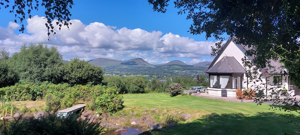 Man-made underground passage in BerringsMan-made underground passage · 1078 yd
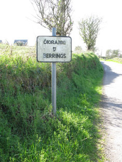 sign postsign post · 1526 yd
 Bob AdamsMemorial · 2.0 mi
 Castle Inch (in Ruins)Castle, tower house · 2.4 mi
 Iniscarra Dam ViewViewpoint · 2.8 mi
 Ballyvodane Castle (in Ruins)Castle, unclassified · 3.2 mi
 Hugh MaguireMemorial · 3.3 mi
 Coachford Greenway (End)Visitor information · 3.9 mi
 Blarney lake bird nest islandIslet · 4.3 mi