What is recorded here
Caheronaun holds a circular rath thirty-two metres across, marked by two banks and a central ditch. Its eastern and western gaps may be original entrances rather than damage, inviting entry into a hidden underground passage and forgotten house site. The fort still stands in rough pastureland, preserving the shape of a place where people once lived beneath the open sky.
In rough pastureland. Circular rath (diam. c. 32m), in fair condition, defined by two banks and
an intervening fosse. Gaps at ENE (Wth 4.5m) and WSW (Wth 6.2m) may be original. A possible Man-made underground passage (GA105-041001-) and house site (GA105-041002-) are associated.
Compiled by: Galway Archaeological Survey, UCG
Date of upload: 13 January 2017
The monument record does not grant public access. Check the route and ask the landowner before entering private land.
- What survives
- Recorded monument
Places near here
 CaveMan-made underground passage · 1 yd
 KilnKiln, lime · 727 yd
 Man-made underground passage in CarnMan-made underground passage · 1224 yd
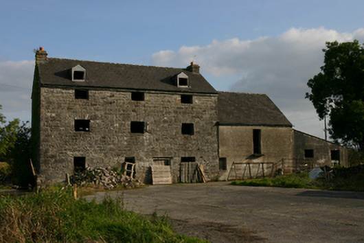 White Millmill (water) · 1456 yd
 Ballygasty Castle in ruinsCastle, unclassified · 1639 yd
 Bush IslandIslet · 1.4 mi
 Middle IslandIslet · 1.4 mi
 Raruddy Castle (in ruins)Castle, tower house · 1.7 mi
 Long PointHeadland · 1.8 mi
 Turoe StoneHeritage attraction · 3.0 mi
 Dartfield Horse MuseumHeritage attraction · 3.0 mi
 Scalpeen RockNamed rock · 6.7 mi