What is recorded here
Caherkelly holds a thirty-metre earthen ring on a pasture rise, possibly strengthened with stone, while an underground passage cuts through its north-west interior. The site may have served as a defensive home or a boundary marker for a local community. It is also called a fairy fort in local tradition, a name that often marks places people avoided or feared. The surviving bank and hidden passage suggest the site remained active long after its original builders left it behind.
On a rise in pastureland. Poorly preserved circular rath (diam. 30m) defined by a degraded earthen bank, which was possibly revetted with stone. There is a Man-made underground passage (GA114-038001-) in the NW quadrant of the interior. (McCaffrey 1952, 282 no. 49a; SMR file)
Compiled by: Galway Archaeological Survey, UCG
Date of upload: 13 January 2017
The monument record does not grant public access. Check the route and ask the landowner before entering private land.
- What survives
- Recorded monument
Places near here
 CaveMan-made underground passage · 5 yd
 IndicatedFairy fort / stone ringfort · 283 yd
 Loughnane and Quinn Memorial Halldemesne walls/gates/railings · 557 yd
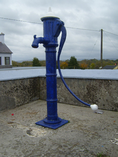 water pumpwater pump · 601 yd
 Castle (in ruins)Castle, Anglo-Norman masonry castle · 1.1 mi
 Ballymaquiff CastleCastle · 1.1 mi
 Drumharsna CastleHeritage attraction · 1.8 mi
 HawthornHawthorn · 1.9 mi
 European ashEuropean ash · 2.0 mi
 Drumacoo Monastic SiteHeritage attraction · 5.8 mi
 Mulroney's IslandIslet · 6.1 mi
 Kilmacduagh Monastic SiteVisitor information · 7.4 mi